


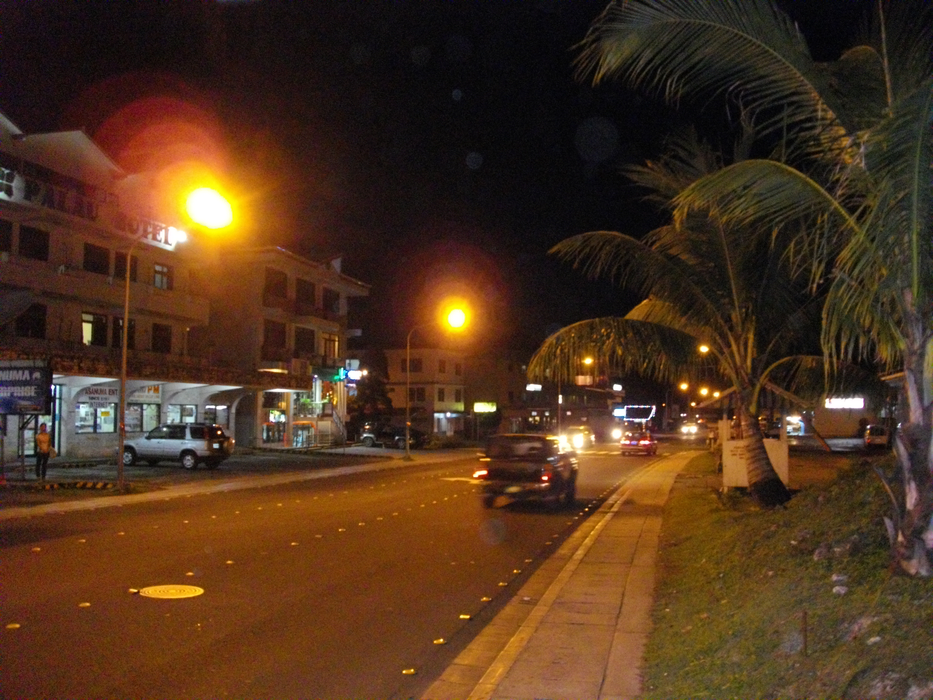
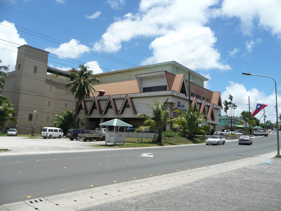
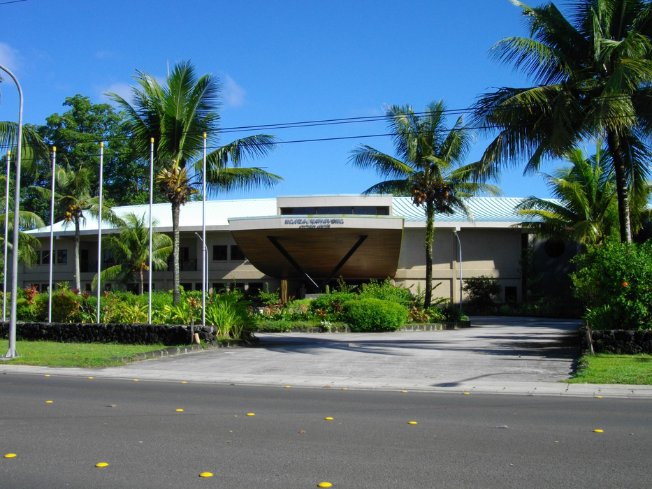
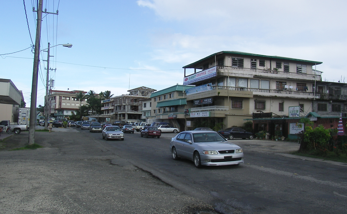
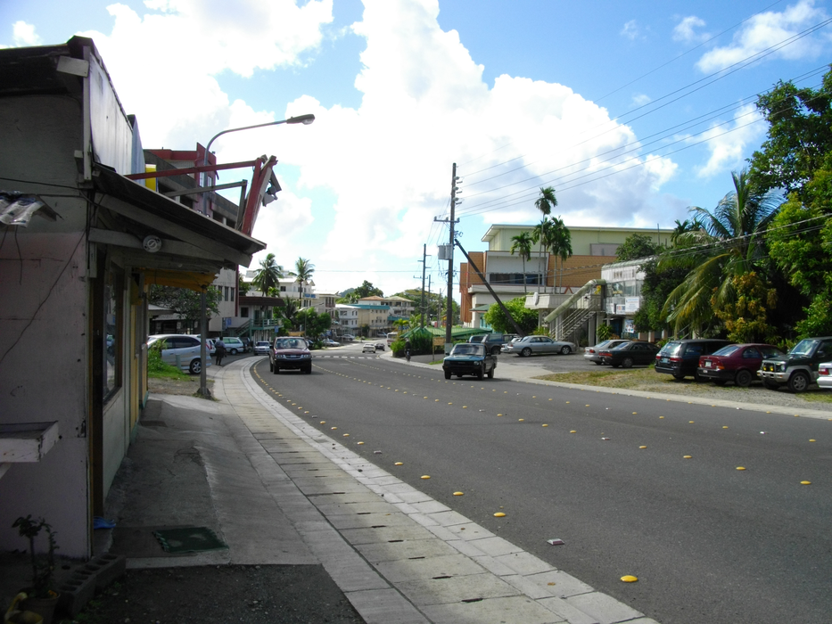
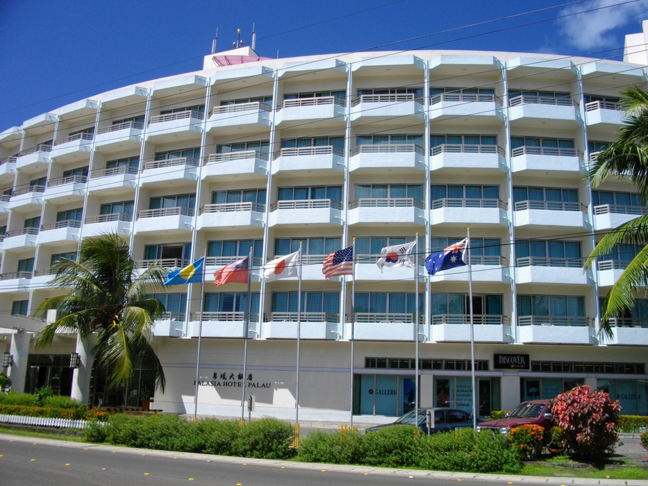
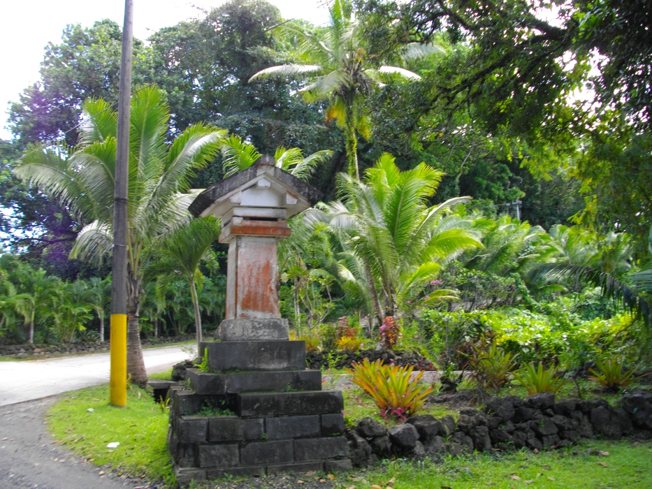
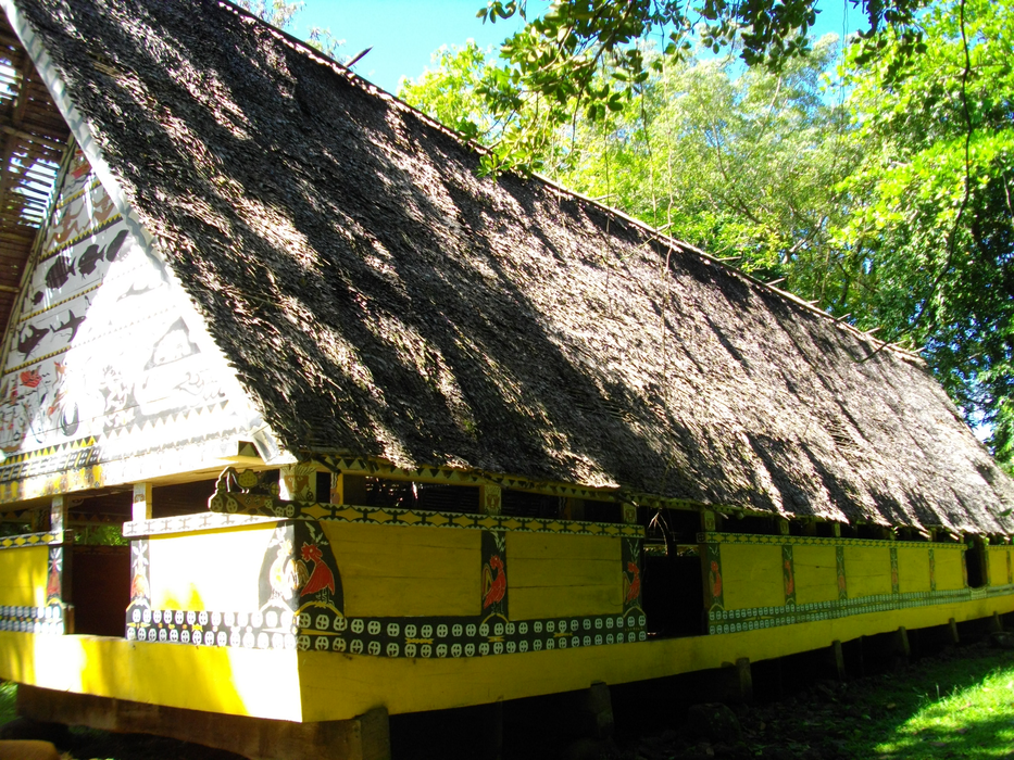
Gallery


Map and nearest places
| Longitude | Latitude |
|---|---|
| 7.36055555555556 | 134.479166666667 |
| 7°21'0"N | 134°28'0"E |
| Nearest places | ||
|---|---|---|
| Roman Tmetuchl International Airport | 7.2km | |
| Peleliu Island | 45.8km | |
| Peleliu Airfield | 48.6km | |
| Angaur Airstrip | 62.5km | |
| Angaur Island | 63.9km | |
| Yap International Airport | 462.2km | |
| Yap | 467.4km | |
| Bislig Airport | 575.7km | |
| Falalop Island Airport | 655.1km | |
| Bislig | 900.3km | |
| Manokwari | 915.9km | |
| Tandag | 932.4km | |
| John Paul II International Airport | 11,080.7km | |
| Imperatriz Airport | 19,719.7km | |
Airports

Weblinks
Comments
You need to log in to add comment