


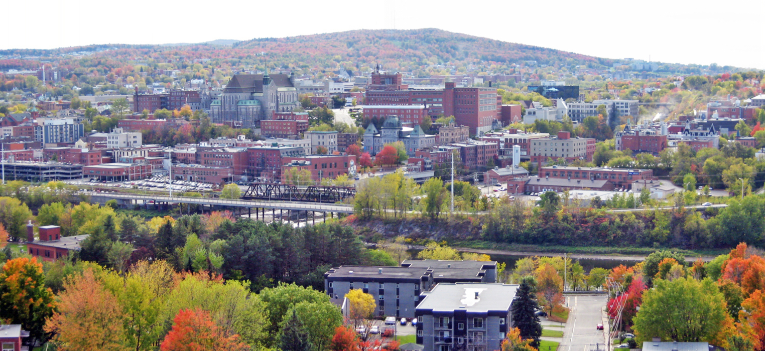
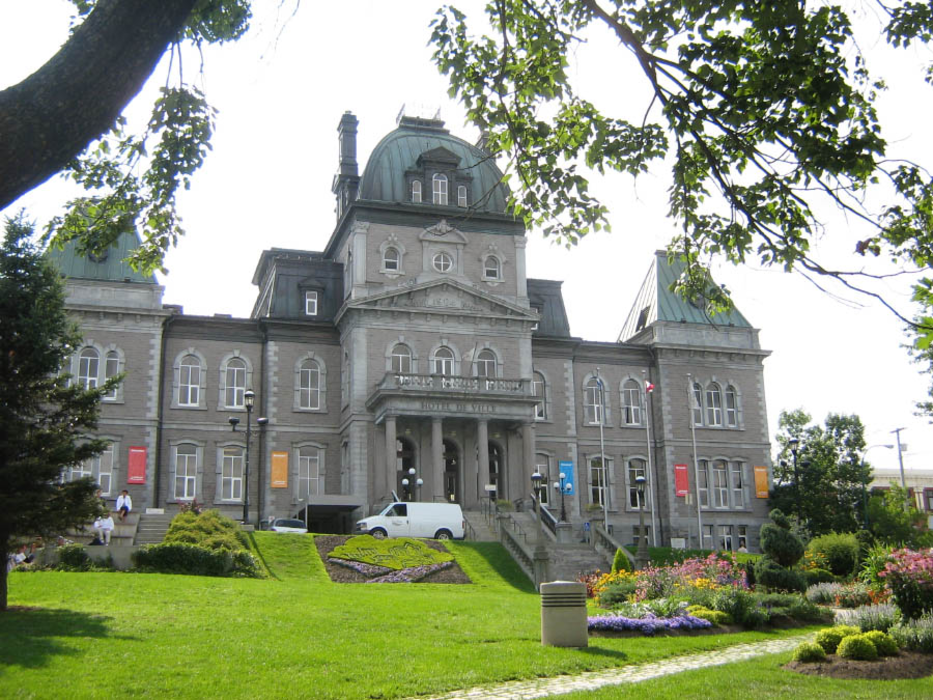
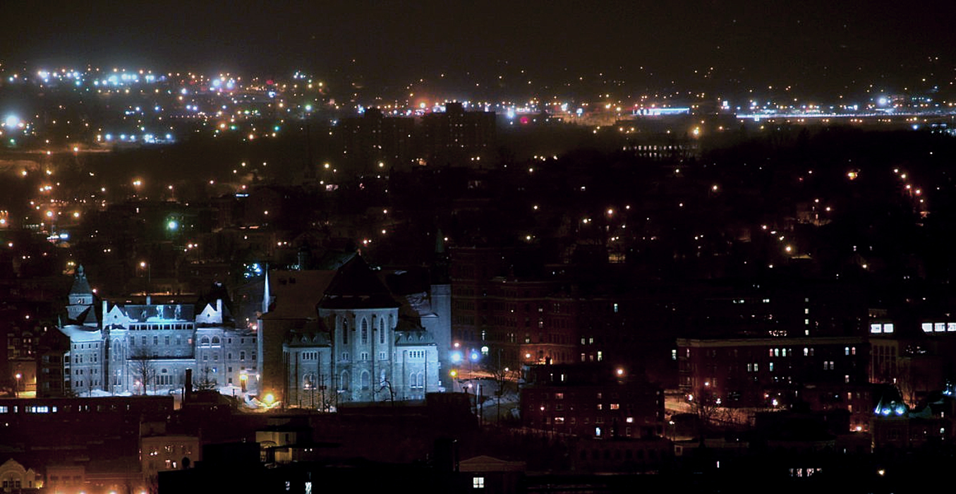


Map and nearest places
| Longitude | Latitude |
|---|---|
| 45.4 | -71.8833333333333 |
| 45°23'0"N | 71°52'0"W |
| Nearest places | ||
|---|---|---|
| Sherbrooke Airport | 15.6km | |
| Magog | 25.5km | |
| Newport | 56.6km | |
| Bromont | 60.6km | |
| Newport State Airport | 63.0km | |
| Drummondville Airport | 63.6km | |
 | Granby | 66.4km |
| Bromont Airport | 68.2km | |
| Drummondville | 71.2km | |
| Dunham | 77.7km | |
| Caledonia County Airport | 93.0km | |
| Steven A. Bean Municipal Airport | 105.7km | |
| John Paul II International Airport | 6,426.5km | |
| Albany Airport | 18,592.6km | |
Airports
Weblinks
Comments
You need to log in to add comment