


Gallery


Map and nearest places
| Longitude | Latitude |
|---|---|
| 45.4183333333333 | -123.814444444444 |
| 45°25'0"N | 123°48'0"W |
| Nearest places | ||
|---|---|---|
| Tillamook | 4.7km | |
| Garibaldi | 17.5km | |
| Rockway Beach | 23.9km | |
| Pacific City | 26.3km | |
| Pacific City State Airport | 26.9km | |
| Sheridan | 48.3km | |
| Yamhill | 50.0km | |
| McMinnville Municipal Airport | 58.6km | |
| Portland-Hillsboro Airport | 68.7km | |
| Astoria Regional Airport | 82.4km | |
| Aurora State Airport | 83.8km | |
| Scappoose Industrial Airpark | 83.9km | |
| John Paul II International Airport | 8,830.7km | |
| Tolagnaro Airport | 17,602.8km | |
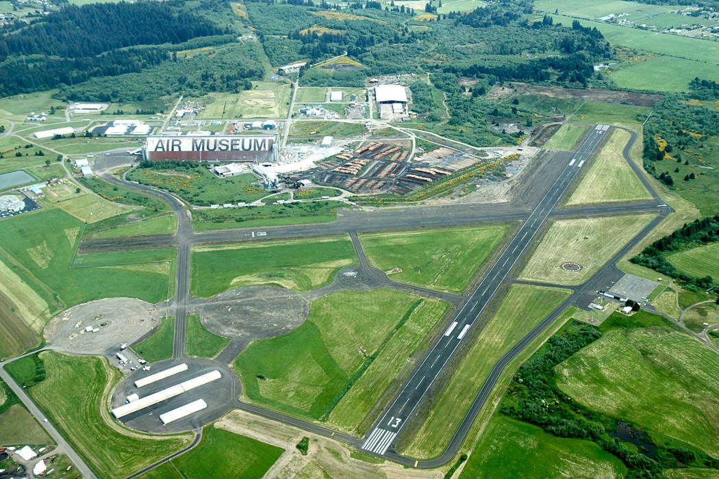
General informations
| Airport type | Local airport |
| ICAO | KTMK |
| IATA | OTK |
| FAA | TMK |
| Elevation | 36 ft / 11 m MSL |
Weblinks
Comments
You need to log in to add comment