


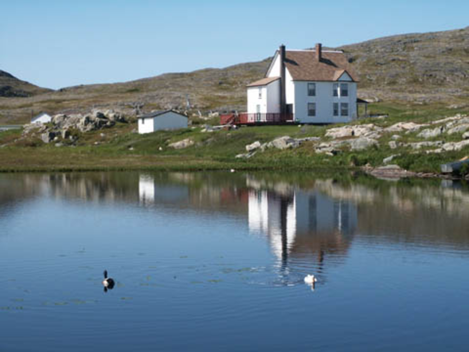
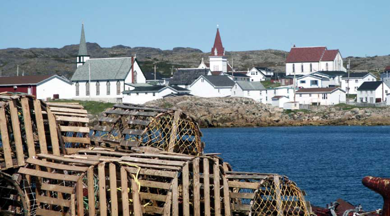
Gallery


Map and nearest places
| Longitude | Latitude |
|---|---|
| 49.666667 | -54.166667 |
| 49°40'0"N | 54°10'0"W |
| Nearest places | ||
|---|---|---|
| Fogo Airport | 17.1km | |
| Twillingate | 41.6km | |
 | Gander | 85.2km |
| Gander International Airport | 86.2km | |
| Botwood | 104.1km | |
| Exploits Valley (Botwood) Airport | 115.0km | |
| Bonavista | 135.3km | |
| Springdale | 138.7km | |
| Kings Point | 145.6km | |
| Springdale Airport | 146.5km | |
| Clarenville Airport | 155.3km | |
| Harbour Grace Airport | 230.3km | |
| John Paul II International Airport | 5,072.5km | |
| Albany Airport | 18,252.4km | |
Accomodation
Airports
Weblinks
Comments
You need to log in to add comment