


_539248572_64.jpg)
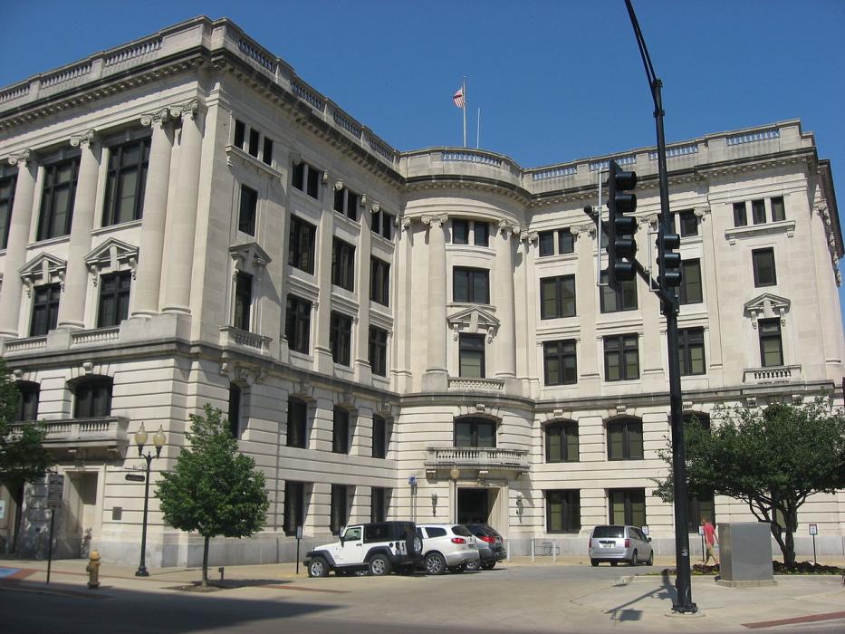
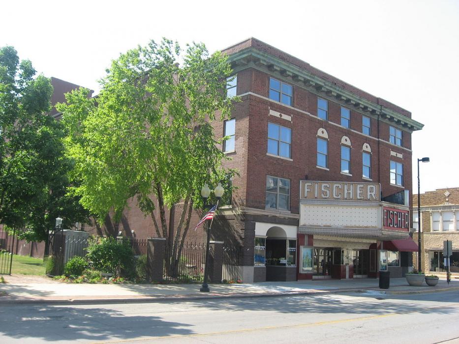
Gallery


Map and nearest places
| Longitude | Latitude |
|---|---|
| 40.1244444444444 | -87.63 |
| 40°7'0"N | 87°37'0"W |
| Nearest places | ||
|---|---|---|
| Vermilion County Airport | 8.9km | |
| Newtown | 41.8km | |
| Urbana | 48.9km | |
| Savoy | 53.4km | |
| Champaign | 53.7km | |
| University of Illinois Willard Airport | 55.9km | |
| Purdue University Airport | 66.9km | |
| West Lafayette | 70.4km | |
| Terre Haute | 75.6km | |
| Terre Haute International Airport | 79.8km | |
| Coles County Memorial Airport | 90.8km | |
| Greater Kankakee Airport | 106.9km | |
| John Paul II International Airport | 7,747.3km | |
| Busselton Regional Airport | 17,854.0km | |
Accomodation
Restaurants
Breweries
Airports
Weblinks
Comments
You need to log in to add comment