


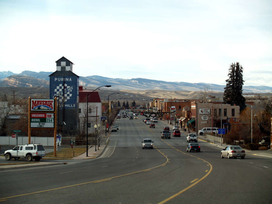


Map and nearest places
| Longitude | Latitude |
|---|---|
| 42.833056 | -108.7325 |
| 42°49'0"N | 108°43'0"W |
| Nearest places | ||
|---|---|---|
| Hunt Field Airport | 2.0km | |
| Riverton Regional Airport | 34.0km | |
| Riverton | 35.0km | |
| Ralph Wenz Field Airport | 87.7km | |
| Pinedale | 92.4km | |
| Thermopolis | 99.6km | |
| Thermopolis Municipal Airport | 101.0km | |
| Dubois | 107.1km | |
| Dubois Municipal Airport | 111.2km | |
| Miley Memorial Field | 116.0km | |
| Big Piney | 117.6km | |
| Rock Springs | 143.9km | |
| John Paul II International Airport | 8,540.0km | |
| Sir Ga�tan Duval Airport | 17,344.6km | |
Accomodation
Restaurants
Museums
Golfs club
Breweries
Airports
Weblinks
Comments
You need to log in to add comment