


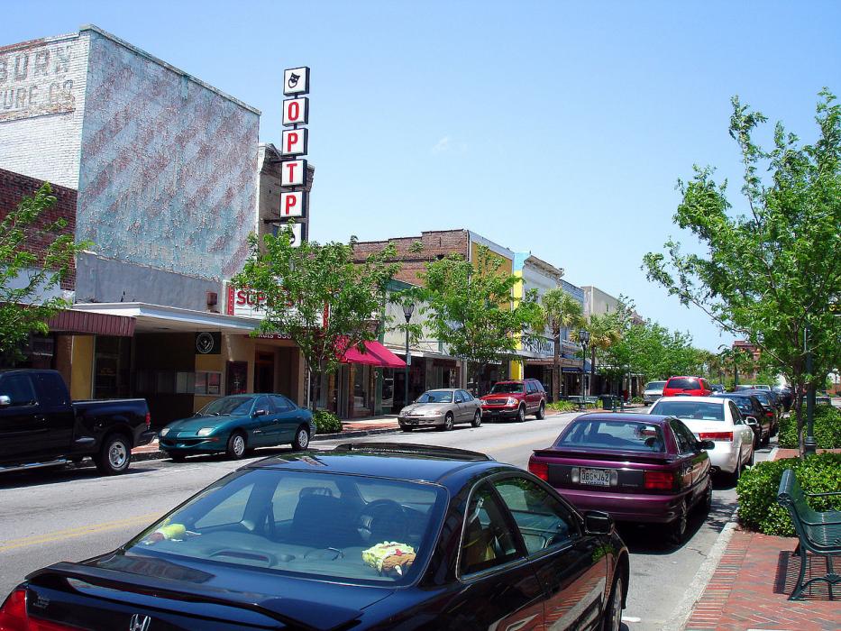
Gallery


Map and nearest places
| Longitude | Latitude |
|---|---|
| 33.496944 | -80.862222 |
| 33°29'0"N | 80°51'0"W |
| Nearest places | ||
|---|---|---|
| Orangeburg Municipal Airport | 4.5km | |
| Bamberg | 27.1km | |
| Bamberg County Airport | 31.3km | |
| St George | 43.4km | |
| Holly Hill | 46.0km | |
| St George Airport | 46.9km | |
| Holly Hill Airport | 48.6km | |
| Columbia Owens Downtown Airport | 54.1km | |
| Barnwell | 54.3km | |
| Columbia Metropolitan Airport | 54.6km | |
| Columbia | 58.2km | |
| Lexington | 63.7km | |
| John Paul II International Airport | 7,902.8km | |
| Busselton Regional Airport | 18,510.7km | |
Accomodation
Restaurants
Golfs club
Airports
Weblinks
Comments
You need to log in to add comment