


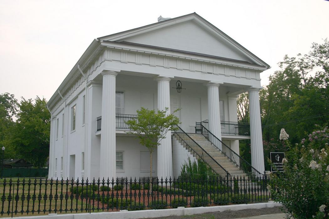
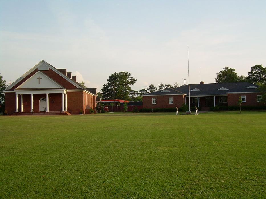
Gallery


Map and nearest places
| Longitude | Latitude |
|---|---|
| 34.259167 | -80.609167 |
| 34°15'0"N | 80°36'0"W |
| Nearest places | ||
|---|---|---|
| Woodward Field Airport | 4.9km | |
| Sumter Airport | 37.2km | |
| Sumter | 43.3km | |
| Winnsboro | 45.9km | |
| Fairfield County Airport | 46.3km | |
| Columbia Owens Downtown Airport | 47.9km | |
| Columbia | 48.6km | |
| Hartsville | 50.0km | |
| Lancaster | 53.5km | |
| Lancaster County Airport | 56.3km | |
| Columbia Metropolitan Airport | 59.0km | |
| Lexington | 65.0km | |
| John Paul II International Airport | 7,824.2km | |
| Busselton Regional Airport | 18,539.5km | |
Accomodation
Restaurants
Airports
Weblinks
Comments
You need to log in to add comment