


Gallery


Map and nearest places
| Longitude | Latitude |
|---|---|
| 31.476666666666702 | -82.8605555555555 |
| 31°28'0"N | 82°51'0"W |
| Nearest places | ||
|---|---|---|
| Douglas | 3.6km | |
| Fitzgerald Municipal Airport | 45.2km | |
| Fitzgerald | 45.9km | |
| Homerville Airport | 47.5km | |
| Hazelhurst Airport | 49.7km | |
| Hazlehurst | 49.9km | |
| Homerville | 50.0km | |
| Waycross-Ware County Airport | 50.9km | |
| Waycross | 56.2km | |
| Henry Tift Myers Airport | 59.8km | |
| Tifton | 61.6km | |
| Heart of Georgia Regional Airport | 86.1km | |
| John Paul II International Airport | 8,195.3km | |
| Kalbarri Airport | 18,308.9km | |
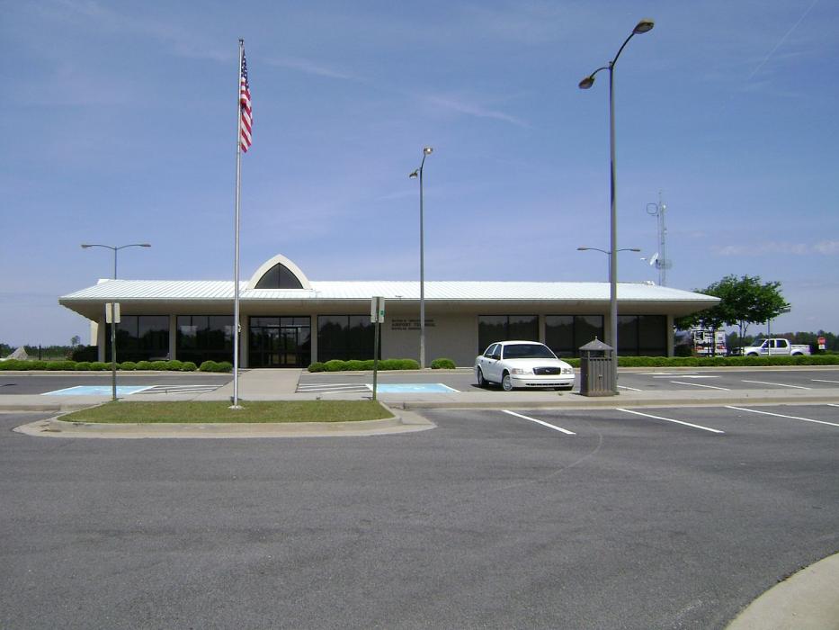
General informations
| Airport type | Local airport |
| ICAO | KDQH |
| FAA | DQH |
Weblinks
Comments
You need to log in to add comment