


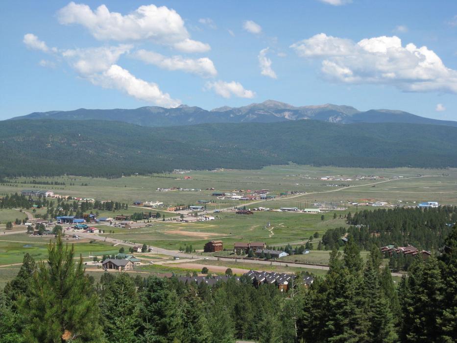
Gallery


Map and nearest places
| Longitude | Latitude |
|---|---|
| 36.378889 | -105.285556 |
| 36°22'0"N | 105°17'0"W |
| Nearest places | ||
|---|---|---|
| Angel Fire Airport | 4.8km | |
 | Taos | 26.1km |
| Taos Regional Airport | 35.7km | |
 | Espanola | 81.5km |
| Las Vegas Municipal Airport | 81.6km | |
| Saguache | 83.3km | |
| Las Vegas | 87.1km | |
| Raton Municipal Airport | 94.0km | |
| Raton | 94.9km | |
 | Santa Fe | 99.9km |
| Los Alamos Airport | 104.3km | |
| Santa Fe Municipal Airport | 111.4km | |
| John Paul II International Airport | 8,996.7km | |
| Sir Gaëtan Duval Airport | 17,861.1km | |
Accomodation
Airports
Weblinks
Comments
You need to log in to add comment