


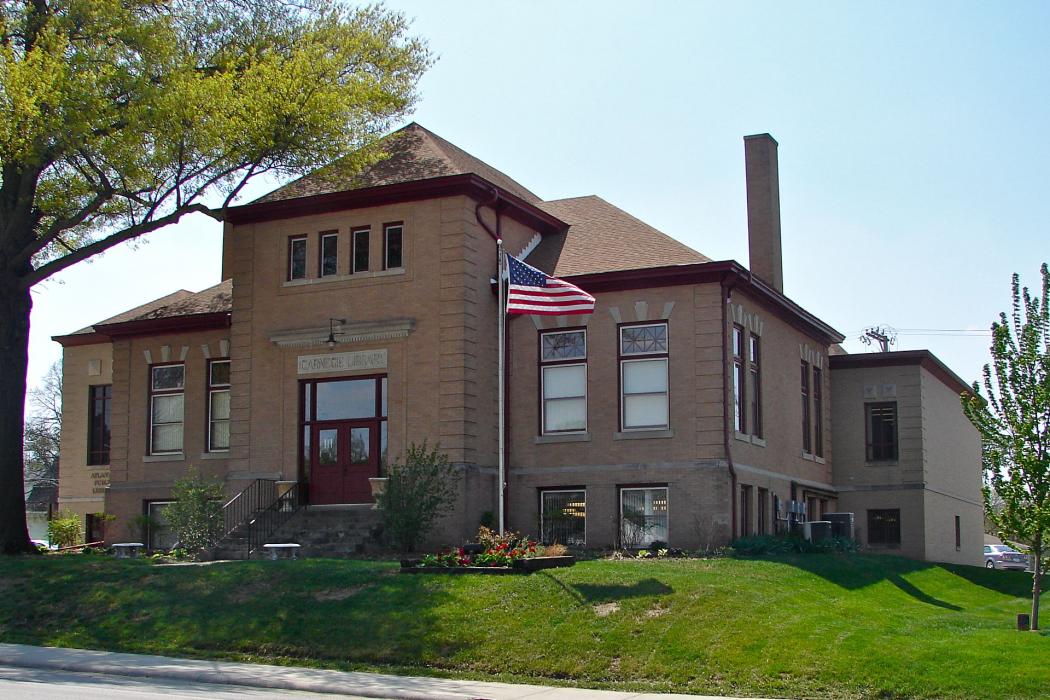
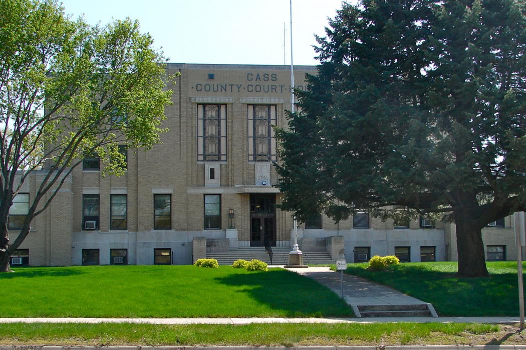
Gallery


Map and nearest places
| Longitude | Latitude |
|---|---|
| 41.4013888888889 | -95.0108333333333 |
| 41°24'0"N | 95°0'0"W |
| Nearest places | ||
|---|---|---|
| Harlan Municipal Airport | 34.1km | |
| Harlan | 38.3km | |
| Guthrie | 52.5km | |
| Guthrie County Regional Airport | 57.5km | |
| Council Bluffs Municipal Airport | 64.4km | |
| Denison Municipal Airport | 72.0km | |
| Glenwood | 72.9km | |
| Council Bluffs | 73.0km | |
| Arthur N Neu Airport | 74.0km | |
| Denison | 74.1km | |
| Eppley Airfield | 74.5km | |
| Carroll | 75.2km | |
| John Paul II International Airport | 8,030.9km | |
| Busselton Regional Airport | 17,217.4km | |
Accomodation
Restaurants
Golfs club
Airports
Weblinks
Comments
You need to log in to add comment