


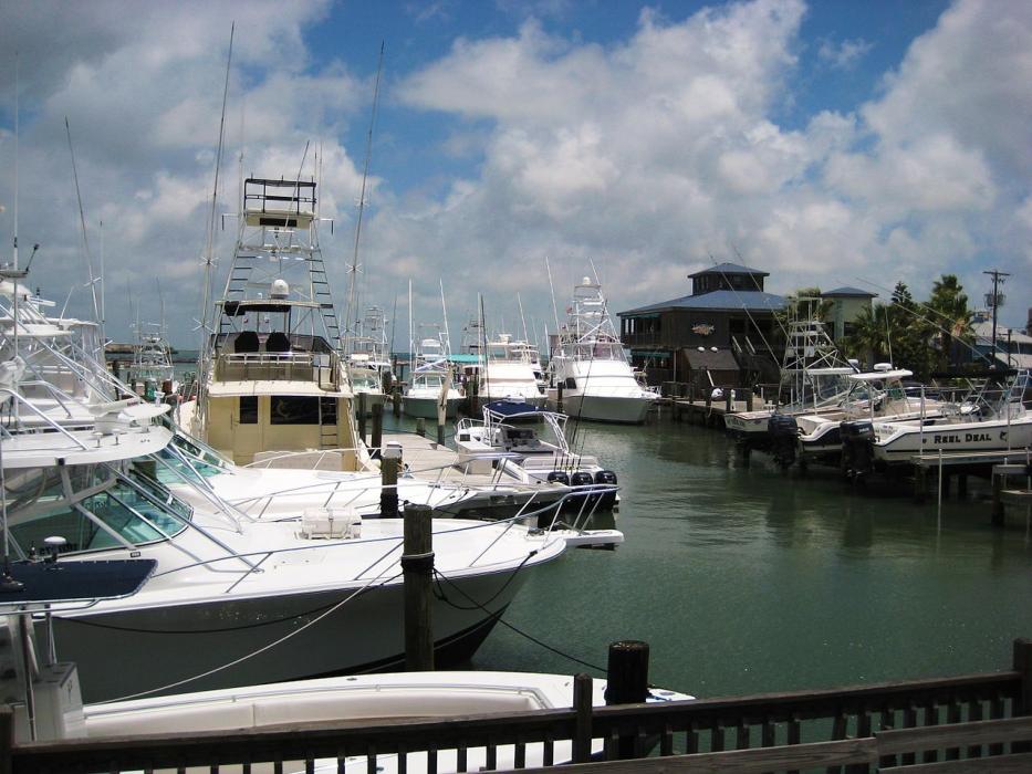
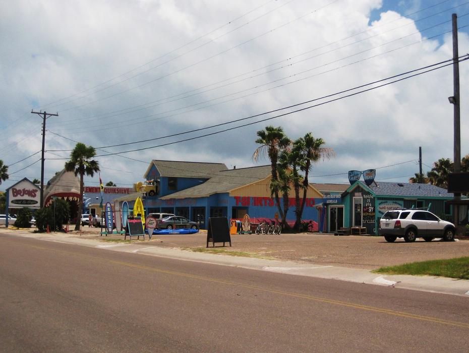


Map and nearest places
| Longitude | Latitude |
|---|---|
| 27.8333333333333 | -97.0666666666667 |
| 27°49'0"N | 97°4'0"W |
| Nearest places | ||
|---|---|---|
| Mustang Beach Airport | 3.2km | |
| Rockport | 22.1km | |
| Aransas County Airport | 28.3km | |
 | Corpus Christi | 34.5km |
| Corpus Christi International Airport | 43.3km | |
| Kingsville | 86.3km | |
| Goliad | 98.2km | |
| Kleberg County Airport | 100.0km | |
 | Victoria | 109.6km |
| Victoria Regional Airport | 114.2km | |
| Palacios | 125.7km | |
| Palacios Municipal Airport | 127.5km | |
| John Paul II International Airport | 9,358.2km | |
| Sir Ga�tan Duval Airport | 17,834.5km | |
Accomodation
Golfs club
Airports
Weblinks
Comments
You need to log in to add comment