


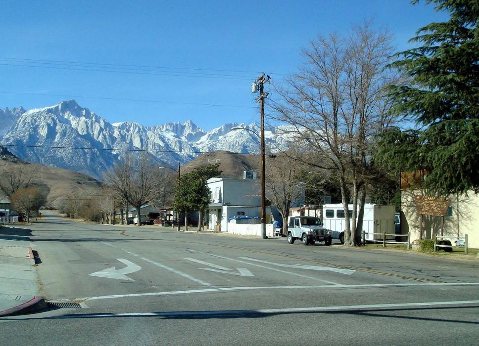
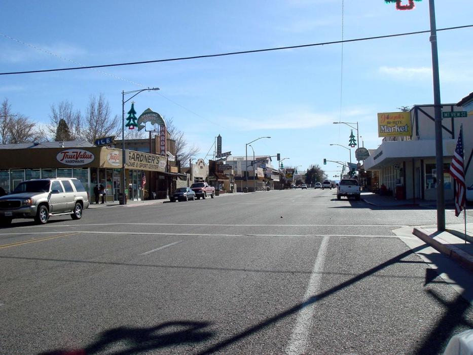
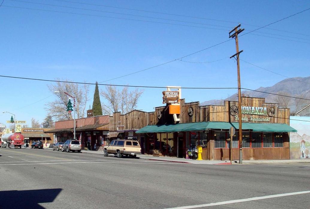


Map and nearest places
| Longitude | Latitude |
|---|---|
| 36.606111 | -118.062778 |
| 36°36'0"N | 118°3'0"W |
| Nearest places | ||
|---|---|---|
| Lone Pine Airport | 2.2km | |
| Independence | 25.1km | |
| Independence Airport | 26.6km | |
| Bishop | 89.2km | |
| Eastern Sierra Regional Airport | 89.4km | |
| Woodlake | 95.0km | |
| Woodlake Airport | 96.1km | |
| Kernville | 100.1km | |
| Exeter | 102.6km | |
| Kern Valley Airport | 102.7km | |
| Exeter Airport | 105.3km | |
| Death Valley National Park | 106.7km | |
| John Paul II International Airport | 9,526.7km | |
| Pierrefonds Airport | 18,202.4km | |
Airports
Weblinks
Comments
You need to log in to add comment