


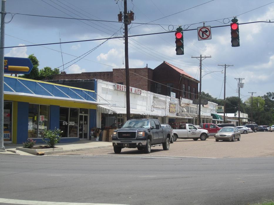
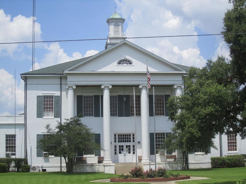
Gallery


Map and nearest places
| Longitude | Latitude |
|---|---|
| 32.409167 | -91.191389 |
| 32°24'0"N | 91°11'0"W |
| Nearest places | ||
|---|---|---|
| Vicksburg Tallulah Regional Airport | 16.6km | |
| Vicksburg | 30.8km | |
| Vicksburg Municipal Airport | 31.1km | |
| Morehouse Memorial Airport | 75.2km | |
| Bastrop | 79.2km | |
| Monroe Regional Airport | 80.2km | |
| Monroe | 87.7km | |
| Natchez-Adams County Airport | 89.0km | |
| Hawkins Field Airport | 91.4km | |
| Jackson | 95.4km | |
| Natchez | 96.8km | |
| Madison | 101.8km | |
| John Paul II International Airport | 8,613.4km | |
| Cocos Islands Airport | 17,622.1km | |
Airports
Weblinks
Comments
You need to log in to add comment