


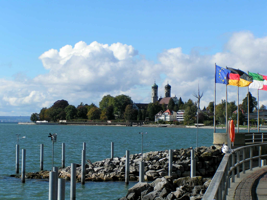
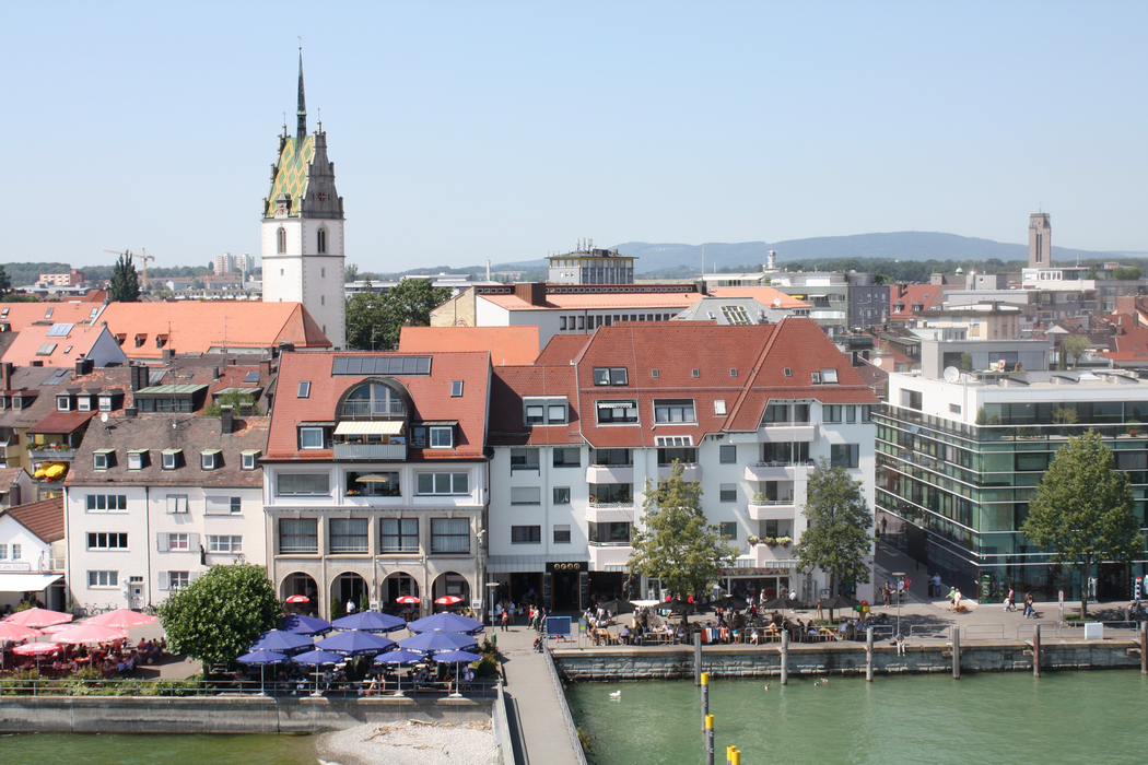
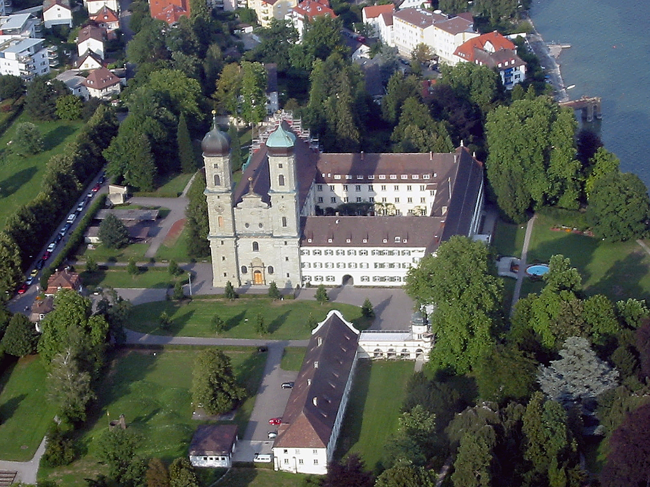
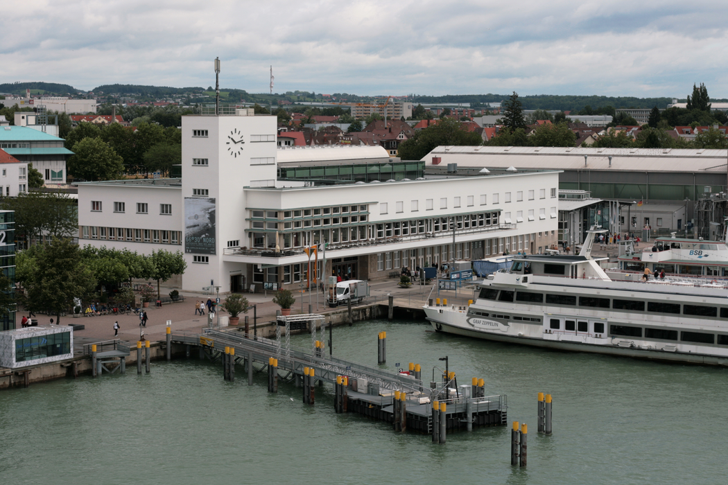


Map and nearest places
| Longitude | Latitude |
|---|---|
| 47.65 | 9.48333333333333 |
| 47°38'0"N | 9°28'0"E |
| Nearest places | ||
|---|---|---|
| Friedrishafen Airport | 3.2km | |
 | Langenargen | 7.5km |
 | Tettnang | 8.1km |
 | Kressbronn | 10.4km |
| Romanshorn | 11.9km | |
 | Hagnau | 12.8km |
 | Wasserburg am Bodensee | 14.1km |
| Altenrhein - St Gallen Airport | 19.2km | |
| Hohenems-Dornbirn Airport | 33.7km | |
| Lommis Airport | 38.6km | |
| Memmingen Airport | 67.9km | |
| Laupheim Airport | 70.9km | |
| John Paul II International Airport | 799.6km | |
| Tuuta Airport | 19,387.0km | |
Accomodation

Restaurants
Museums
Airports
Weblinks
Comments
You need to log in to add comment