


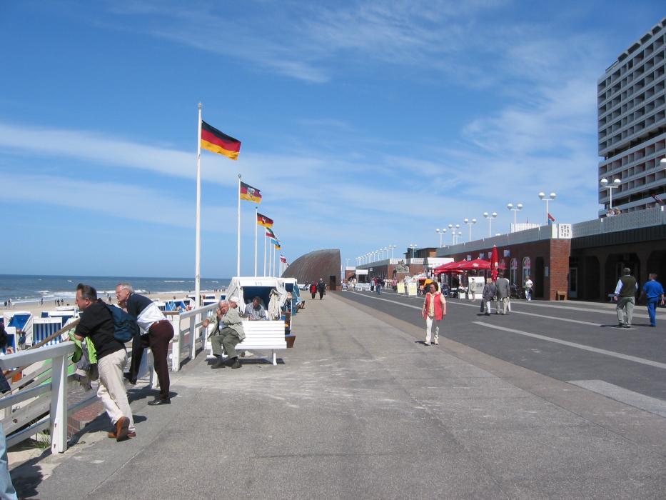


Map and nearest places
| Longitude | Latitude |
|---|---|
| 54.9166666666667 | 8.33333333333333 |
| 54°55'0"N | 8°19'0"E |
| Nearest places | ||
|---|---|---|
| Sylt Airport | 0.6km | |
 | Wyk auf Föhr | 28.4km |
| Tonder Airport | 32.4km | |
 | Tonder | 34.0km |
 | Niebüll | 34.8km |
 | Hooge | 40.9km |
| Løgumkloster | 42.5km | |
 | Leck | 43.9km |
| Skrydstrup AB | 68.5km | |
| Flensburg-Schäferhaus Airport | 68.7km | |
| Esbjerg Airport | 69.2km | |
| Helgoland Airport | 85.7km | |
| John Paul II International Airport | 941.8km | |
| Tuuta Airport | 18,733.0km | |
Airports
Weblinks
Comments
You need to log in to add comment