


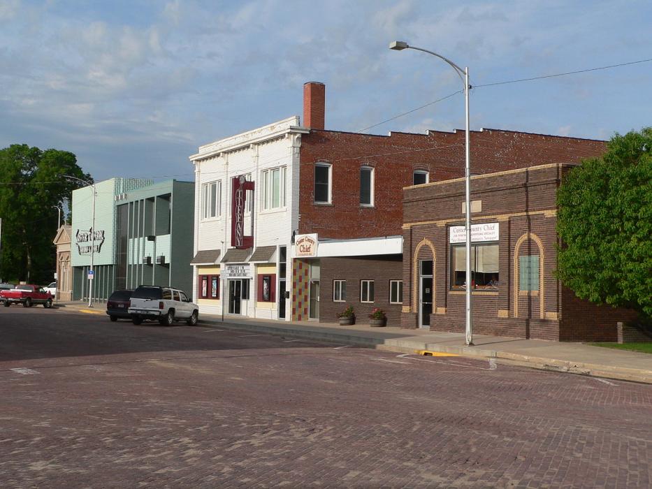
Gallery


Map and nearest places
| Longitude | Latitude |
|---|---|
| 41.4047222222222 | -99.6413888888889 |
| 41°24'0"N | 99°38'0"W |
| Nearest places | ||
|---|---|---|
| Broken Bow Municipal Airport | 3.5km | |
| Cozad Municipal Airport | 66.8km | |
| Cozad | 66.8km | |
| Quinn Field Airport | 68.0km | |
| Gothenburg | 68.2km | |
| Jim Kelly Field Airport | 69.2km | |
| Lexington | 70.1km | |
| Kearney | 91.3km | |
| Kearney Municipal Airport | 92.3km | |
| North Platte Regional Airport | 92.5km | |
| North Platte | 99.0km | |
| St. Paul | 100.9km | |
| John Paul II International Airport | 8,260.9km | |
| Sir Gaëtan Duval Airport | 17,121.8km | |
Accomodation
Breweries
Airports
Weblinks
Comments
You need to log in to add comment