


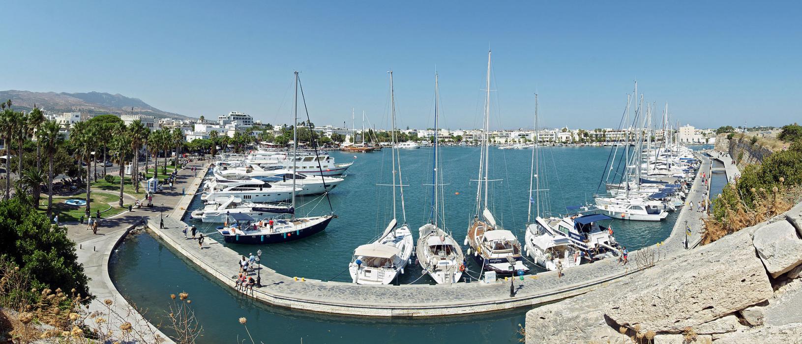
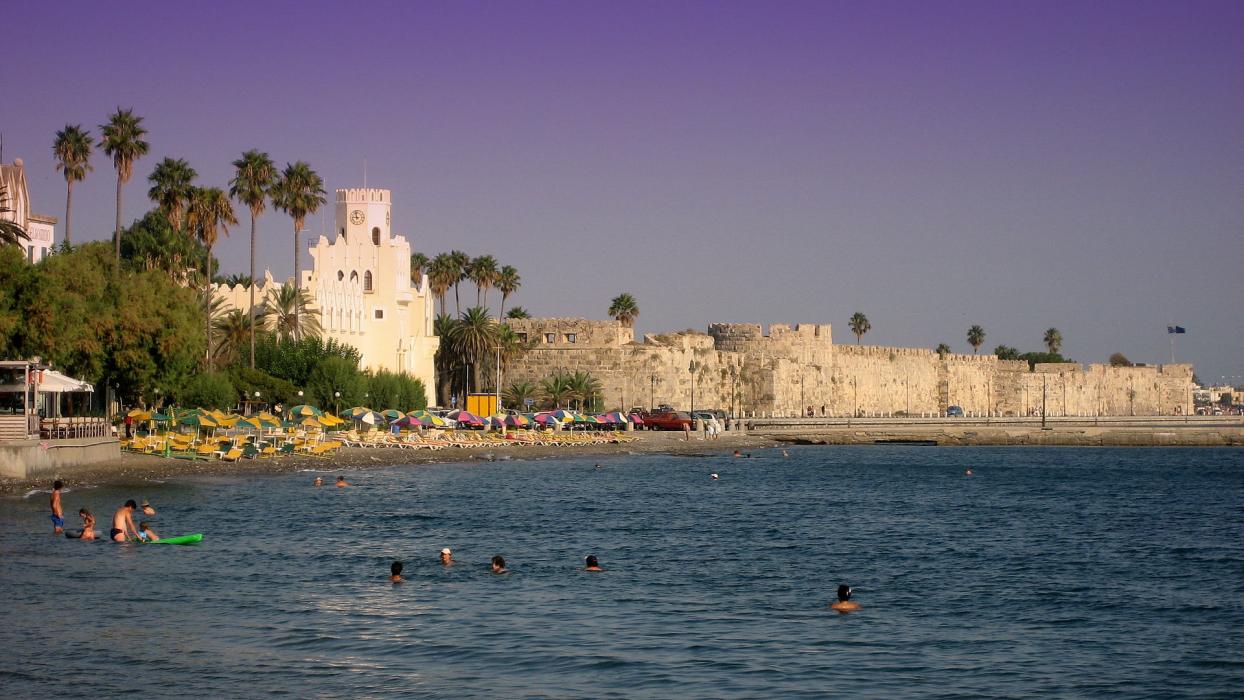


Map and nearest places
| Longitude | Latitude |
|---|---|
| 36.85 | 27.2333333333333 |
| 36°51'0"N | 27°13'0"E |
| Nearest places | ||
|---|---|---|
| Kos Island International Airport, | 14.1km | |
| Kalymnos Island | 26.7km | |
| Bodrum | 27.0km | |
| Kalymnos Island National Airport | 28.9km | |
| Nisyros Island | 30.2km | |
| Leros | 47.7km | |
| Tilos Island | 47.8km | |
| Leros Airport | 53.5km | |
| Milas-Bodrum Airport | 58.7km | |
| Symi Island | 61.2km | |
| Astypalaia Island National Airport | 82.1km | |
| Rhodes Diagoras Airport | 90.8km | |
| John Paul II International Airport | 1,587.0km | |
| Raivavae Airport | 18,493.2km | |
Accomodation

Restaurants
Wineries
Airports
Weblinks
Comments
You need to log in to add comment