


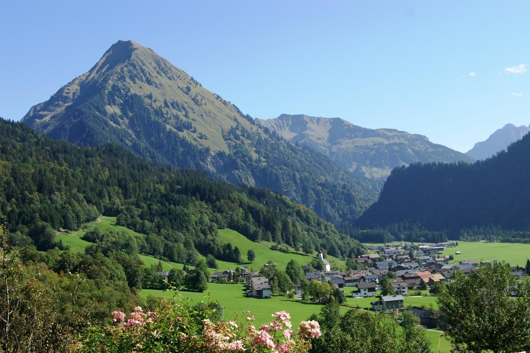
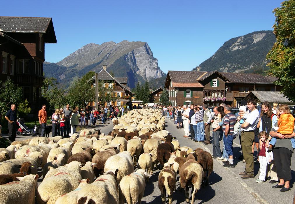
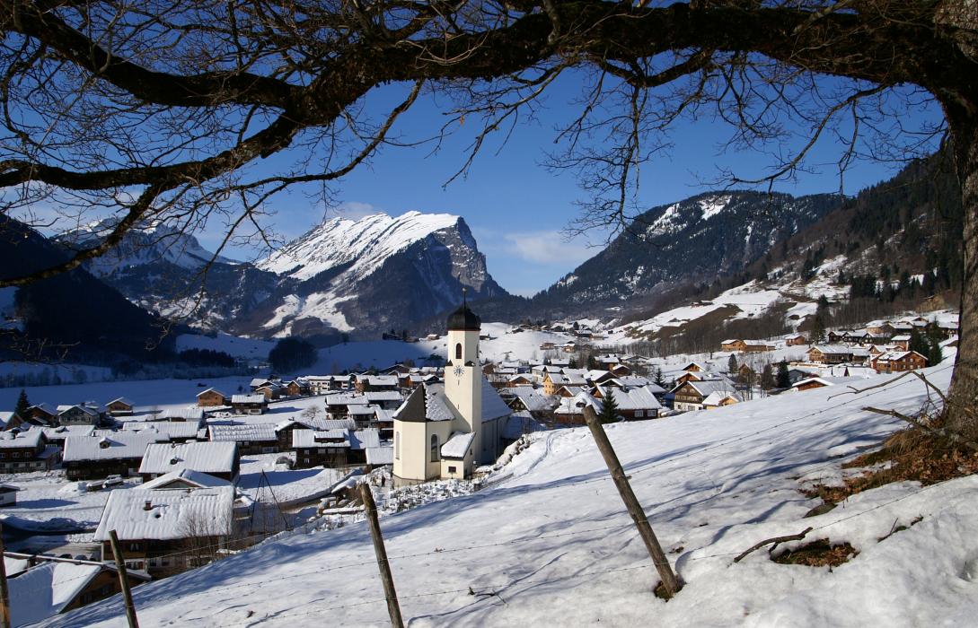
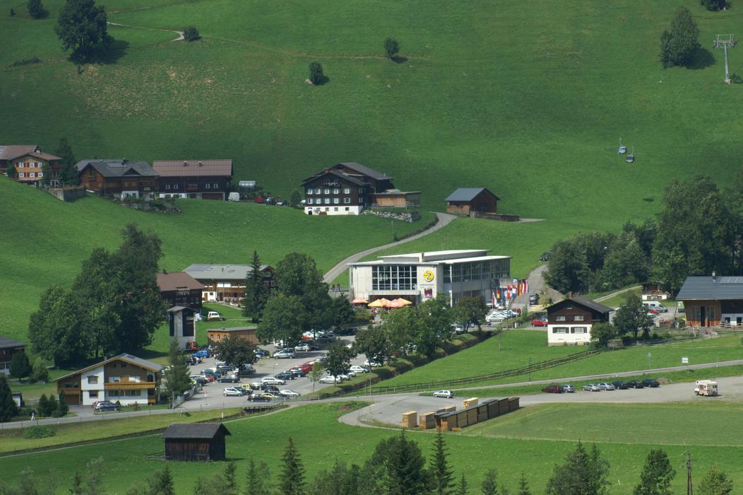
Gallery


Map and nearest places
| Longitude | Latitude |
|---|---|
| 47.313333 | 10.0175 |
| 47°18'0"N | 10°1'0"E |
| Nearest places | ||
|---|---|---|
 | Au | 2.6km |
 | Schröcken | 8.6km |
 | Mittelberg | 10.5km |
 | Damuls | 10.7km |
 | Sibratsgfäll | 12.7km |
 | Riezlern | 13.1km |
| Hohenems-Dornbirn Airport | 25.2km | |
| Altenrhein - St Gallen Airport | 39.3km | |
| Reutte Airport | 54.1km | |
| Friedrishafen Airport | 55.0km | |
| Memmingen Airport | 76.9km | |
| Lommis Airport | 79.9km | |
| John Paul II International Airport | 779.2km | |
| Tuuta Airport | 19,378.4km | |
Accomodation


Weblinks
Comments
You need to log in to add comment