


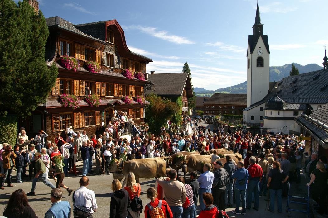


Map and nearest places
| Longitude | Latitude |
|---|---|
| 47.413333 | 9.853056 |
| 47°24'0"N | 9°51'0"E |
| Nearest places | ||
|---|---|---|
 | Andelsbuch | 3.2km |
 | Egg | 3.8km |
 | Alberschwende | 4.9km |
 | Lingenau | 6.5km |
 | Dornbirn | 8.2km |
 | Hittisau | 9.4km |
| Hohenems-Dornbirn Airport | 12.0km | |
| Altenrhein - St Gallen Airport | 23.4km | |
| Friedrishafen Airport | 38.4km | |
| Reutte Airport | 63.8km | |
| Lommis Airport | 65.1km | |
| Memmingen Airport | 70.2km | |
| John Paul II International Airport | 785.4km | |
| Tuuta Airport | 19,381.8km | |
Accomodation


Restaurants

Weblinks
Comments
You need to log in to add comment