


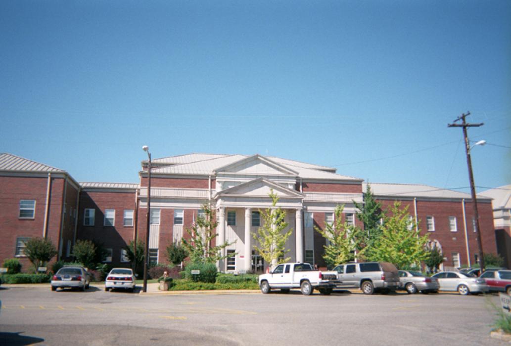
Gallery


Map and nearest places
| Longitude | Latitude |
|---|---|
| 31.7061111111111 | -87.7741666666667 |
| 31°42'0"N | 87°46'0"W |
| Nearest places | ||
|---|---|---|
| Grove Hill Municipal Airport | 2.2km | |
| Monroeville | 47.2km | |
| Monroe County Airport | 48.6km | |
| Middleton Field Airport | 76.3km | |
| Atmore | 80.5km | |
| Evergreen | 83.3km | |
| Brewton | 93.4km | |
| Brewton Municipal Airport | 99.2km | |
| Craig Field | 102.0km | |
| Selma | 105.9km | |
| Greensboro Municipal Airport | 108.8km | |
| Greensboro | 112.0km | |
| John Paul II International Airport | 8,474.3km | |
| Kalbarri Airport | 17,844.6km | |
Airports
Weblinks
Comments
You need to log in to add comment