


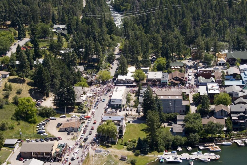
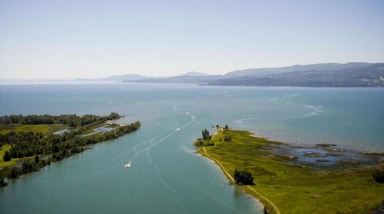
Gallery


Map and nearest places
| Longitude | Latitude |
|---|---|
| 48.065278 | -114.081667 |
| 48°3'0"N | 114°4'0"W |
| Nearest places | ||
|---|---|---|
| Lakeside | 12.0km | |
| Kalispell | 22.8km | |
| Glacier Park International Airport | 30.2km | |
| Columbia Falls | 34.8km | |
| Hungry Horse | 35.5km | |
| Polson Airport | 41.8km | |
| Polson | 42.3km | |
| Whitefish | 43.0km | |
| Thompson Falls Airport | 104.9km | |
| Libby Airport | 107.2km | |
| Missoula International Airport | 127.8km | |
| Cardston Airport | 136.8km | |
| John Paul II International Airport | 8,243.8km | |
| Tolagnaro Airport | 16,963.4km | |
Accomodation
Restaurants
Spirits Distillery
Breweries
Weblinks
Comments
You need to log in to add comment