


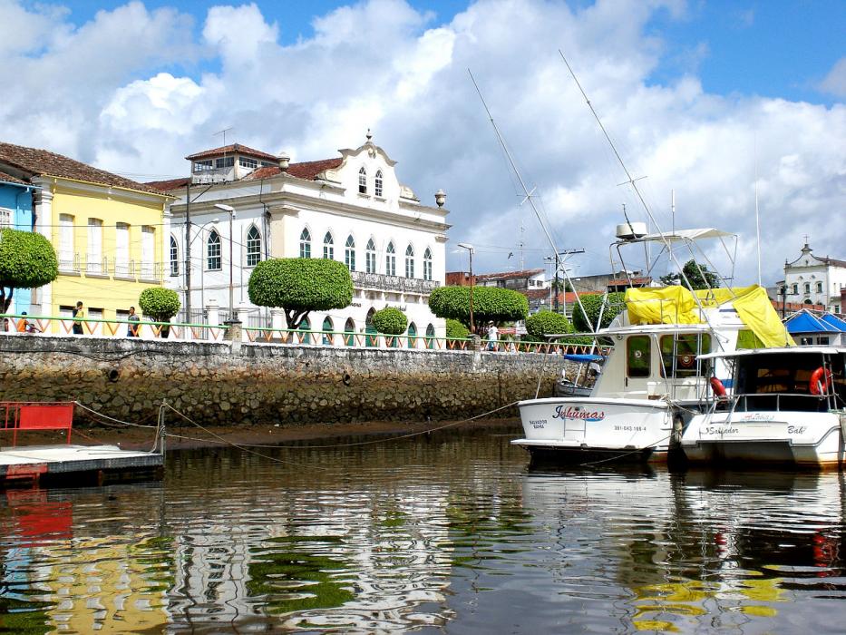

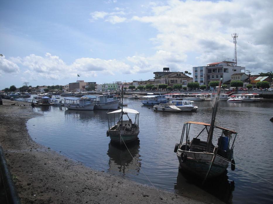


Map and nearest places
| Longitude | Latitude |
|---|---|
| -13.37 | -39.072778 |
| 13°22'0"S | 39°4'0"W |
| Nearest places | ||
|---|---|---|
 | Santo Antônio de Jesus | 49.0km |
 | Salvador | 75.1km |
| Salvador International Airport | 95.2km | |
 | Camaçari | 110.3km |
 | Jequié | 122.0km |
 | Feira de Santana | 125.2km |
 | Alagoinhas | 154.5km |
| Ilheus Jorge Amado Airport | 160.8km | |
| Vitoria da Conquista Airport | 254.6km | |
| Porto Seguro Airport | 341.2km | |
| Santa Maria Airport | 343.2km | |
| Paulo Afonso Airport | 450.4km | |
| John Paul II International Airport | 9,076.9km | |
| Falalop Island Airport | 19,622.5km | |
Comments
You need to log in to add comment