


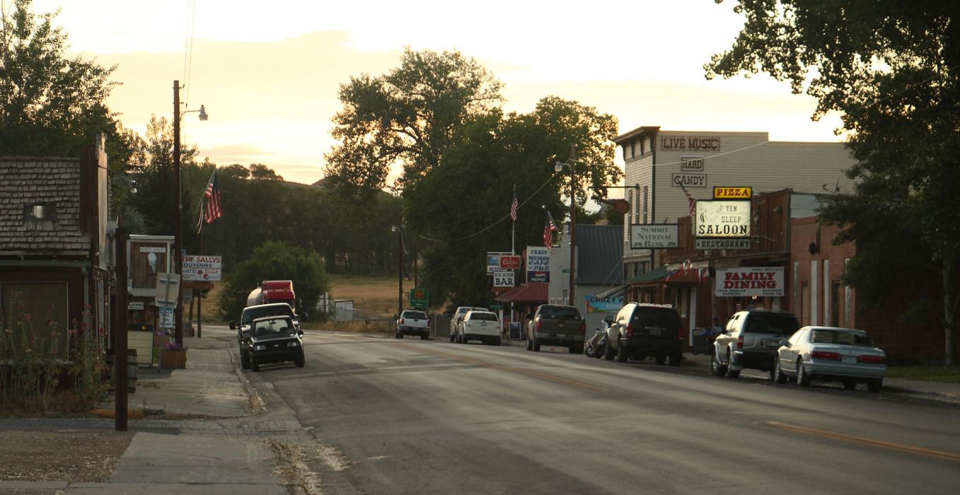
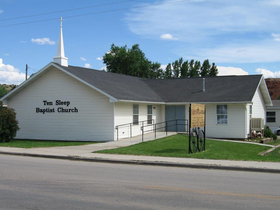
Gallery


Map and nearest places
| Longitude | Latitude |
|---|---|
| 44.034722 | -107.448056 |
| 44°2'0"N | 107°26'0"W |
| Nearest places | ||
|---|---|---|
| Worland | 40.7km | |
| Worland Municipal Airport | 40.9km | |
| Buffalo | 69.0km | |
| Johnson County Airport | 69.5km | |
| Greybull | 70.0km | |
| Gosney Airport | 71.6km | |
| South Big Horn County Airport | 73.7km | |
| Story | 74.0km | |
| Thermopolis Municipal Airport | 74.3km | |
| Kaycee | 74.3km | |
| Thermopolis | 75.2km | |
| Sheridan County Airport | 89.7km | |
| John Paul II International Airport | 8,371.9km | |
| Sir Gaëtan Duval Airport | 17,184.0km | |
Accomodation
Breweries
Weblinks
Comments
You need to log in to add comment