


Gallery
_77720396_700.jpg)


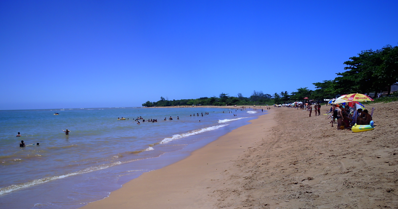
Map and nearest places
| Longitude | Latitude |
|---|---|
| -19.82 | -40.272778 |
| 19°49'0"S | 40°16'0"W |
| Nearest places | ||
|---|---|---|
 | Serra | 34.5km |
| Vitoria Airport | 48.7km | |
| Colatina | 48.8km | |
| Cariacica | 51.7km | |
 | Linhares | 52.5km |
 | Vitoria | 55.9km |
| Vila Velha | 56.7km | |
| Governador Valadares Airport | 207.0km | |
| Bartolomeu Lisandro Airport | 234.7km | |
| Ipatinga Airport | 235.2km | |
| Macae Airport | 320.1km | |
| Zona da Mata Regional Airport | 355.6km | |
| John Paul II International Airport | 9,744.3km | |
| Iwo Jima AB | 19,439.3km | |
Comments
You need to log in to add comment