


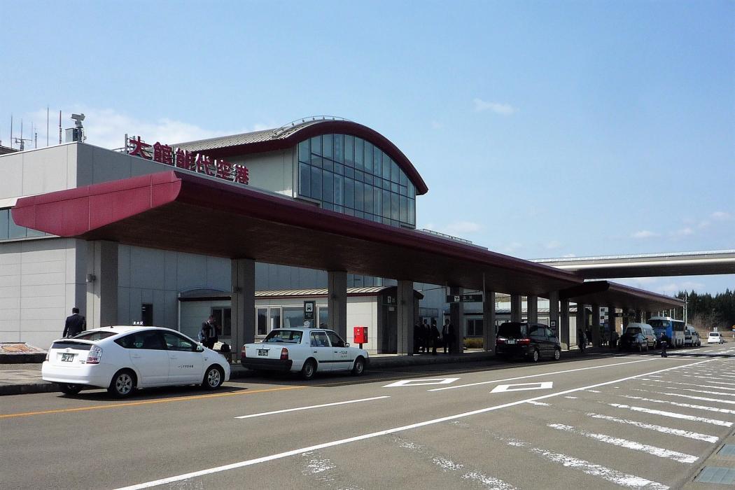
Gallery


Map and nearest places
| Longitude | Latitude |
|---|---|
| 40.191944 | 140.371667 |
| 40°11'0"N | 140°22'0"E |
| Nearest places | ||
|---|---|---|
| Kitaakita | 3.8km | |
| Akita | 57.3km | |
| Akita Airport | 65.4km | |
| Amori Airport | 66.1km | |
| Aomori | 76.5km | |
| Misawa | 100.4km | |
| Misawa Airport | 101.7km | |
| Hanamaki Airport | 107.0km | |
| Hanamaki | 110.2km | |
| Sakata | 149.1km | |
| Shonai Airport | 161.4km | |
| Hakodate Airport | 179.5km | |
| John Paul II International Airport | 8,427.4km | |
| Rio Grande Airport | 18,575.1km | |
General informations
| Airport type | Regional airport |
| ICAO | RJSR |
| IATA | ONJ |
| Elevation | 292 ft / 89 m MSL |
| World Pax Ranking 2023 | #1405(+22) |
| World Pax Ranking 2022 | #1427 |
| World Pax Ranking 2020 | #1579(-7) |
| World Pax Ranking 2019 | #1572(+34) |
| World Pax Ranking 2018 | #1606(-32) |
| World Pax Ranking 2017 | #1574 |
| World Pax Ranking 2015 | #1607(+4) |
| World Pax Ranking 2014 | #1611 |
| Year | Pax |
|---|---|
| 2024 | 194904 |
| 2023 | 177025 |
| 2022 | 149773 |
| 2020 | 48731 |
| 2019 | 159214 |
| 2018 | 151813 |
| 2017 | 142956 |
| 2015 | 125496 |
| 2014 | 123356 |
Weblinks
Comments
You need to log in to add comment