


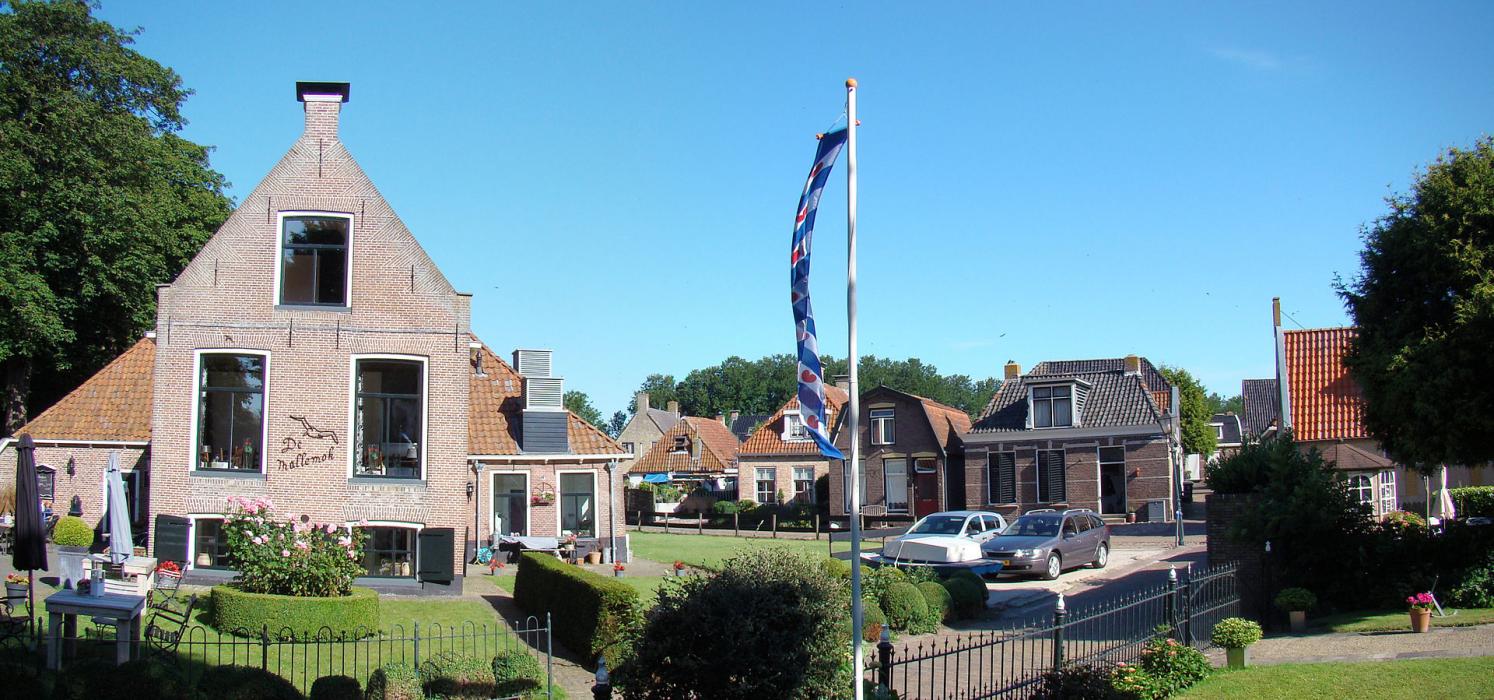
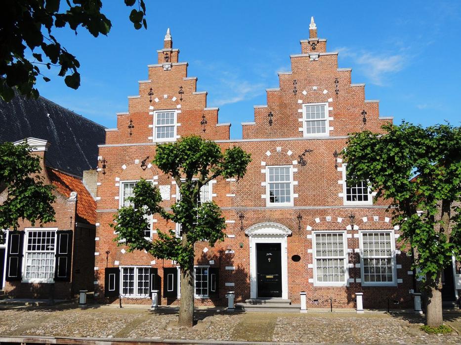
Gallery


Map and nearest places
| Longitude | Latitude |
|---|---|
| 52.894444 | 5.645278 |
| 52°53'0"N | 5°38'0"E |
| Nearest places | ||
|---|---|---|
 | Lemmer | 7.1km |
 | Joure | 13.1km |
 | Sneek | 15.5km |
 | Workum | 16.3km |
 | Hindeloopen | 17.6km |
| Stavoren | 18.7km | |
| Lelystad Airport | 48.9km | |
| De Koy Airport | 58.1km | |
| Texel International Airport | 59.6km | |
| Ameland Airport | 62.0km | |
| Groningen Airport Eelde | 67.3km | |
| Teuge Airport | 77.2km | |
| John Paul II International Airport | 1,025.9km | |
| Tuuta Airport | 18,993.2km | |
Accomodation
Weblinks
Comments
You need to log in to add comment