


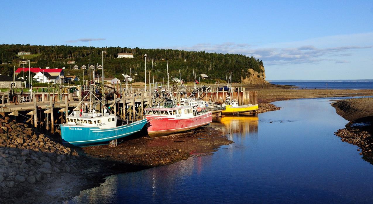
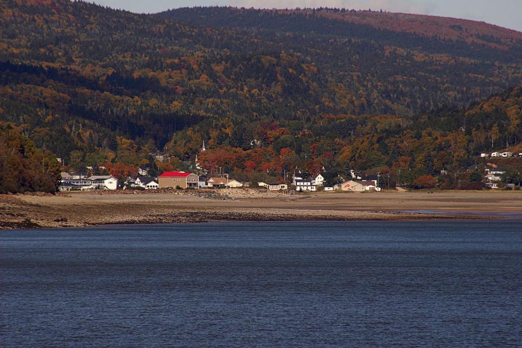
Gallery


Map and nearest places
| Longitude | Latitude |
|---|---|
| 45.601944 | -64.943333 |
| 45°36'0"N | 64°56'0"W |
| Nearest places | ||
|---|---|---|
| Parrsboro | 52.8km | |
| Greater Moncton International Airport | 60.3km | |
| Moncton | 60.5km | |
 | Amherst | 61.3km |
 | Berwick | 63.3km |
 | Kentville | 68.0km |
 | Springhill | 69.1km |
| Saint John Airport | 80.4km | |
| Chipman Airport | 96.1km | |
| Summerside Airport | 126.6km | |
| Greater Fredericton Airport | 127.2km | |
| Digby Airport | 134.9km | |
| John Paul II International Airport | 5,993.3km | |
| Albany Airport | 18,807.3km | |
Accomodation
Restaurants
Golfs club
Breweries
Weblinks
Comments
You need to log in to add comment