


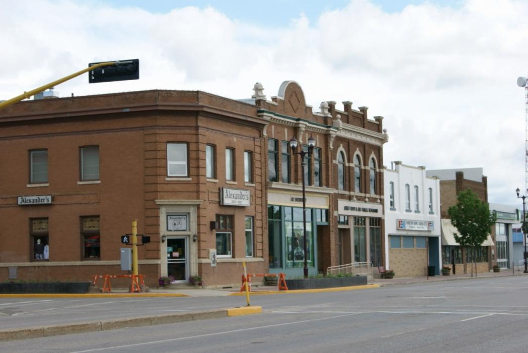
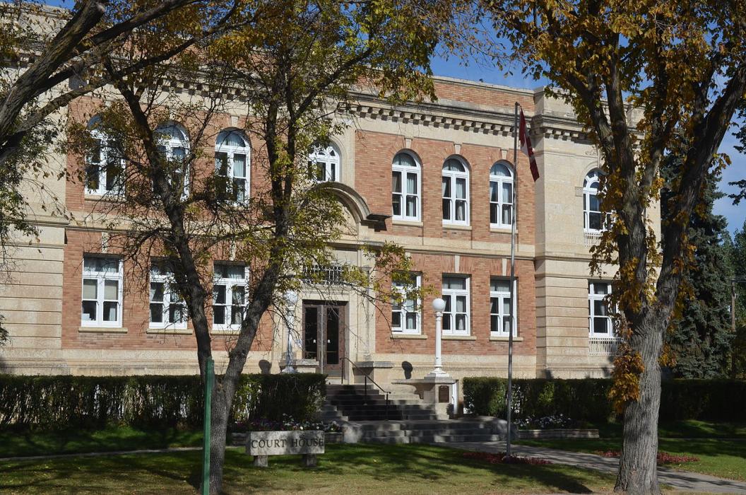
Gallery


Map and nearest places
| Longitude | Latitude |
|---|---|
| 51.213889 | -102.462778 |
| 51°12'0"N | 102°27'0"W |
| Nearest places | ||
|---|---|---|
| Yorkton Municipal Airport | 5.7km | |
| Melville Municipal Airport | 35.9km | |
| Melville | 39.7km | |
| Kamsack | 55.5km | |
| Kamsack Airport | 55.9km | |
| Esterhazy Airport | 68.4km | |
| Esterhazy | 68.6km | |
| Kipling | 124.3km | |
| Kipling Airport | 124.4km | |
| Swam River | 129.0km | |
| Swam River Airport | 131.6km | |
| Wynyard | 134.0km | |
| John Paul II International Airport | 7,501.4km | |
| Busselton Regional Airport | 16,407.4km | |
Accomodation
Restaurants
Golfs club
Breweries
Airports
Weblinks
Comments
You need to log in to add comment