


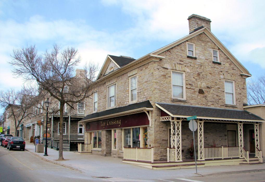
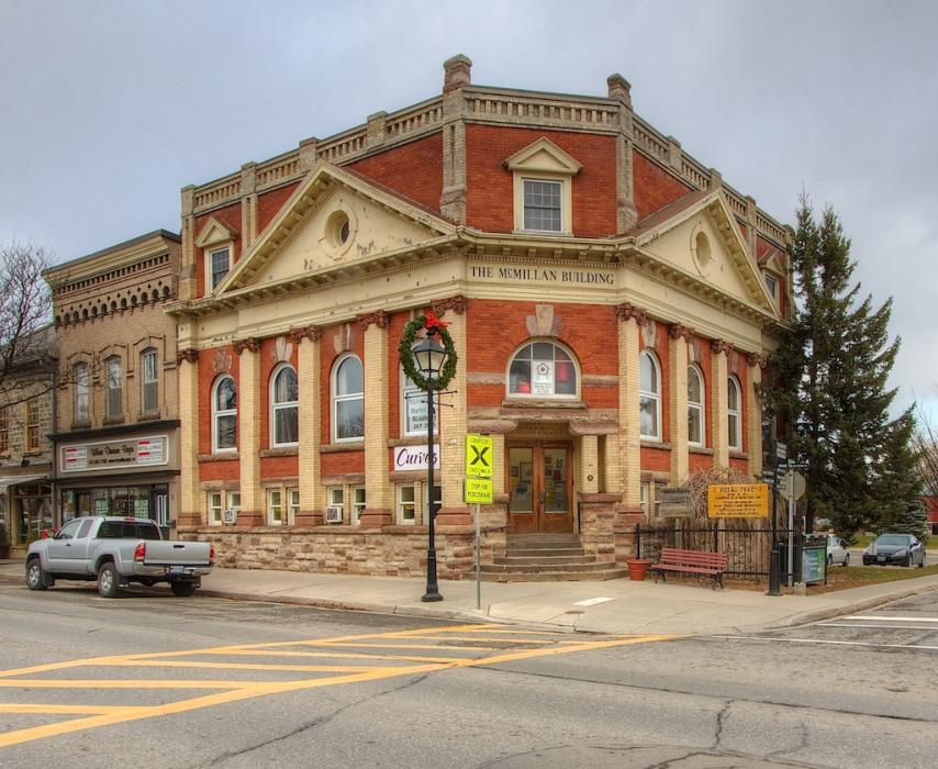
Gallery


Map and nearest places
| Longitude | Latitude |
|---|---|
| 44.9 | -76.25 |
| 44°53'0"N | 76°15'0"W |
| Nearest places | ||
|---|---|---|
| Smiths Falls | 18.4km | |
| Smiths Falls-Montague Airport | 24.9km | |
| Westport | 26.8km | |
| Brockville-Thousand Islands Regional Tackaberry Airport | 48.9km | |
| Ottawa/Carp Airport | 50.3km | |
| Gananoque Airport | 55.4km | |
| Brockville | 56.9km | |
| Arnprior Airport | 57.8km | |
| Arnprior | 60.0km | |
| Gananoque | 63.4km | |
| Ogdensburg | 64.4km | |
| Ottawa International Airport | 65.5km | |
| John Paul II International Airport | 6,719.0km | |
| Busselton Regional Airport | 18,419.4km | |
Accomodation
Restaurants
Museums
Breweries
Weblinks
Comments
You need to log in to add comment