


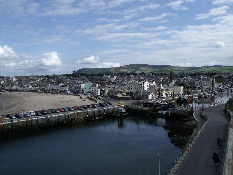


Map and nearest places
| Longitude | Latitude |
|---|---|
| 54.221944 | -4.691389 |
| 54°13'0"N | 4°41'0"W |
| Nearest places | ||
|---|---|---|
| Douglas | 15.2km | |
| Port Erin | 15.7km | |
| Isle of Man Airport | 16.0km | |
| Castletown | 16.6km | |
| Port St Mary | 16.7km | |
| Laxey | 18.8km | |
| Ramsey | 22.8km | |
| George Best Belfast City | 88.2km | |
| Barrow/Walney Island Airfield | 93.2km | |
| Anglesey Airport | 108.8km | |
| Belfast International Airport | 109.8km | |
| Blackpool International Airport | 119.7km | |
| John Paul II International Airport | 1,722.6km | |
| Stewart Island Airport | 19,056.0km | |
Comments
You need to log in to add comment