


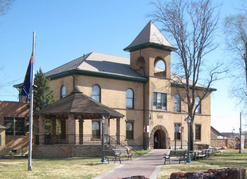
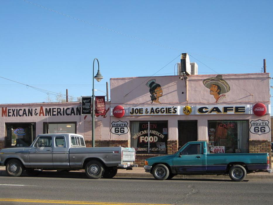
Gallery


Map and nearest places
| Longitude | Latitude |
|---|---|
| 34.907222 | -110.162778 |
| 34°54'0"N | 110°9'0"W |
| Nearest places | ||
|---|---|---|
| Snowflake | 44.6km | |
| Taylor | 49.4km | |
| Taylor Airport | 50.7km | |
| Winslow | 50.9km | |
| Winslow-Lindbergh Regional Airport | 52.6km | |
| Heber-Overgaard | 66.1km | |
| Show Low Regional Airport | 72.8km | |
| Show Low | 74.5km | |
| St. Johns Industrial Air Park | 83.7km | |
| Saint Johns | 85.2km | |
| Springerville Municipal Airport | 116.5km | |
| Black Rock Airport | 126.4km | |
| John Paul II International Airport | 9,363.3km | |
| Sir Gaëtan Duval Airport | 18,214.4km | |
Accomodation

Restaurants
Weblinks
Comments
You need to log in to add comment