


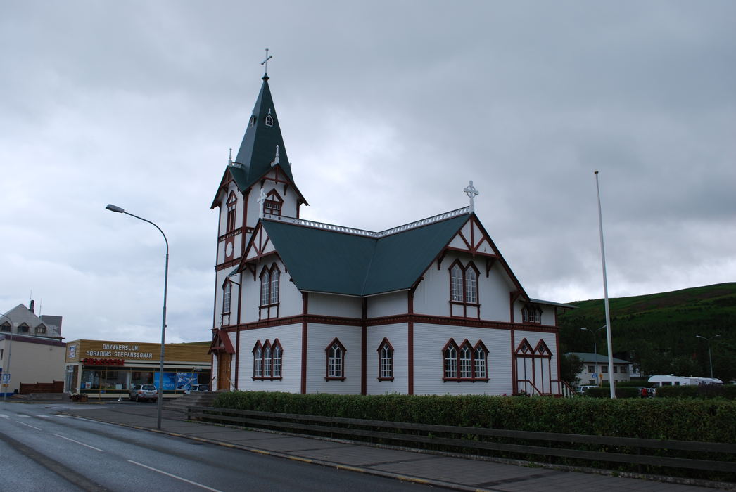
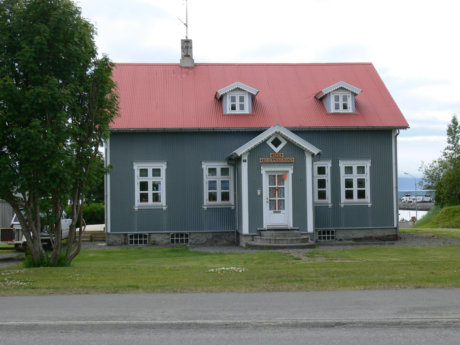
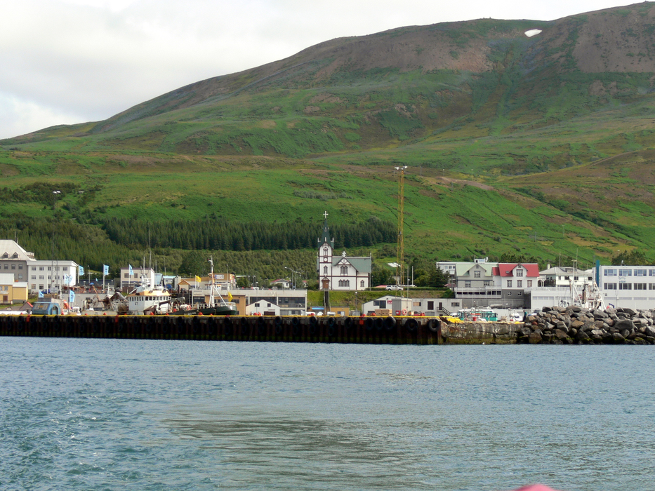
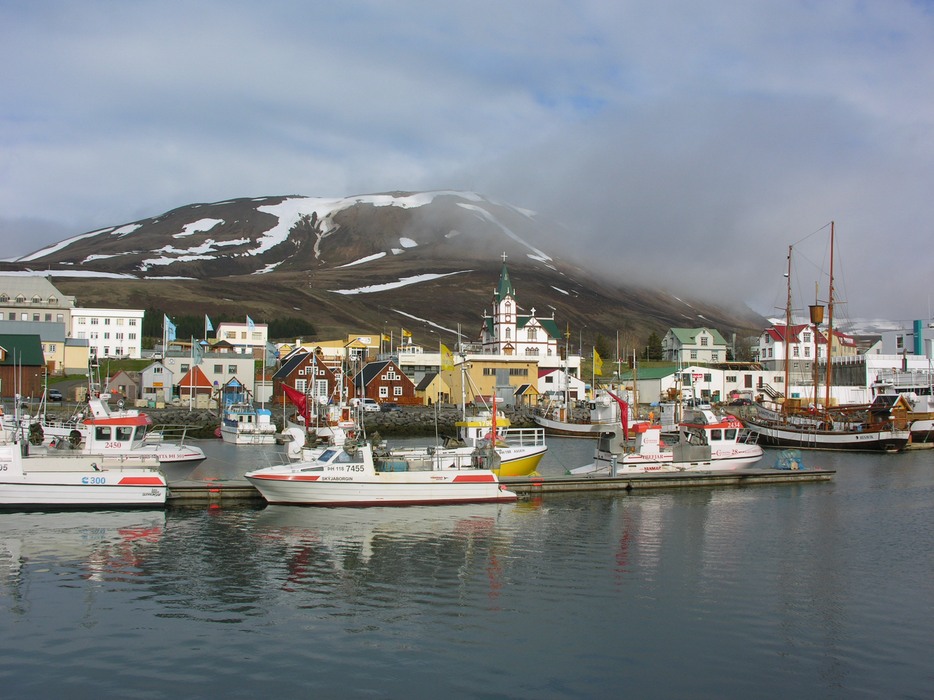
Gallery


Map and nearest places
| Longitude | Latitude |
|---|---|
| 66.05 | -17.316667 |
| 66°2'0"N | 17°19'0"W |
| Nearest places | ||
|---|---|---|
| Husavik Airport | 11.9km | |
| Reykjahlia Airport | 47.4km | |
| Kopasker | 47.8km | |
| Kopasker Airport | 47.9km | |
| Myvtan | 52.1km | |
 | Akureyri | 54.1km |
| Akureyri Airport | 55.4km | |
| Dalvik | 55.6km | |
 | Grimsey | 61.7km |
| Grimsey Airport | 65.4km | |
 | Siglufjordur | 72.1km |
| Siglufjordur Airport | 72.7km | |
| John Paul II International Airport | 2,744.2km | |
| Stewart Island Airport | 17,861.7km | |
Accomodation
Restaurants
Museums
Airports
Weblinks
Comments
You need to log in to add comment