


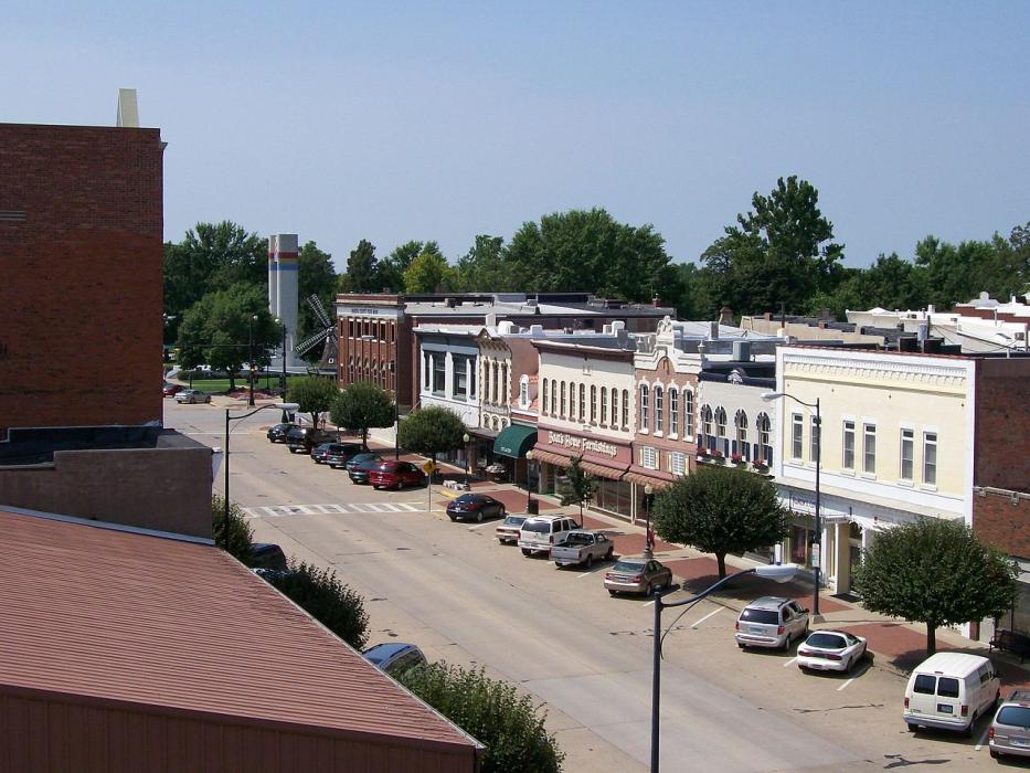
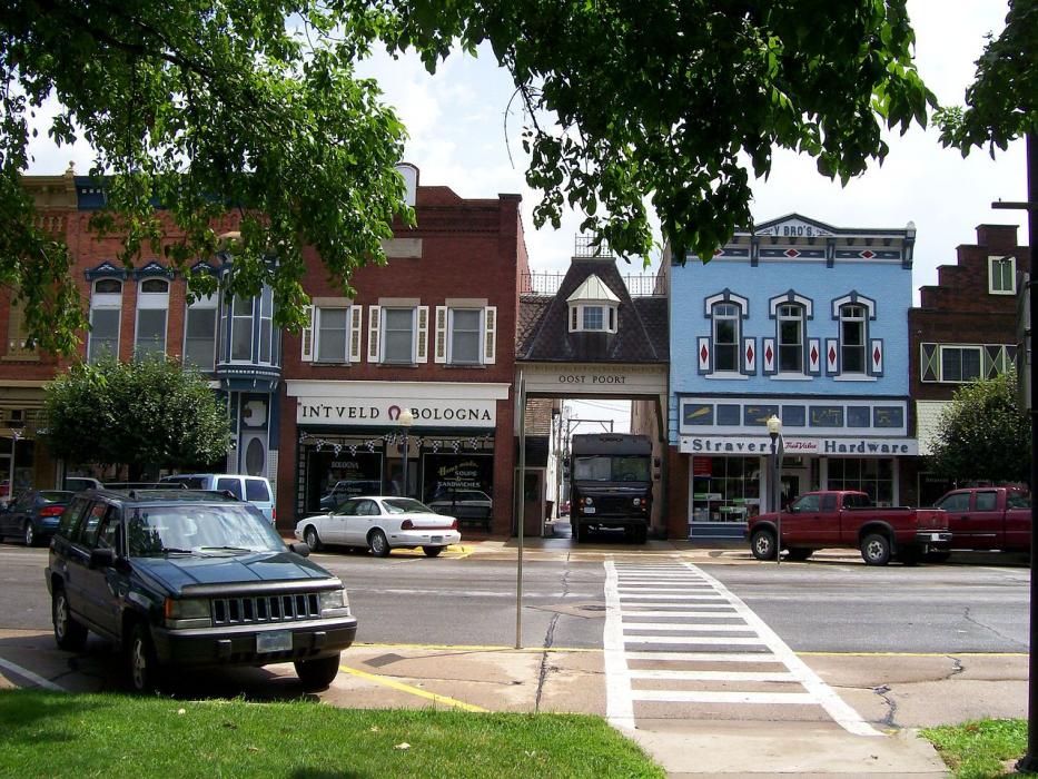
Gallery


Map and nearest places
| Longitude | Latitude |
|---|---|
| 41.407222 | -92.917222 |
| 41°24'0"N | 92°55'0"W |
| Nearest places | ||
|---|---|---|
| Knoxville | 18.2km | |
| Knoxville Municipal Airport | 20.3km | |
| Oskaloosa | 26.0km | |
| Newton Municipal Airport | 31.0km | |
| Newton | 34.2km | |
| Albia | 43.3km | |
| Ottumwa Industrial Airport | 51.5km | |
| Ottumwa | 60.7km | |
| Des Moines | 62.1km | |
| Ankeny Regional Airport | 62.6km | |
| Des Moines International Airport | 63.7km | |
| Atlantic Municipal Airport | 72.4km | |
| John Paul II International Airport | 7,922.4km | |
| Busselton Regional Airport | 17,389.8km | |
Accomodation
Restaurants
Golfs club
Weblinks
Comments
You need to log in to add comment