


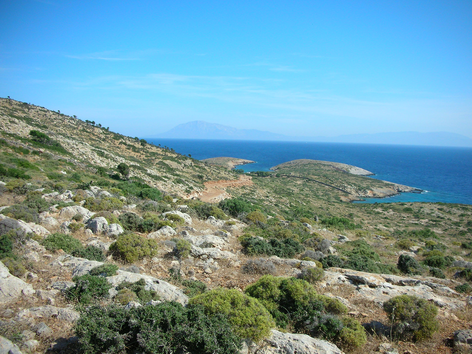
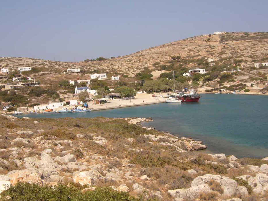
Gallery


Map and nearest places
| Longitude | Latitude |
|---|---|
| 37.384166666666694 | 26.741388888888903 |
| 37°23'0"N | 26°44'0"E |
| Nearest places | ||
|---|---|---|
| Lipsi Island | 9.4km | |
| Patmos Island | 18.5km | |
| Agathonisi Island | 22.0km | |
| Leros Airport | 22.8km | |
| Leros | 27.8km | |
| Fourni Island | 29.4km | |
| Samos Airport | 37.2km | |
| Samos | 44.3km | |
| Ikaria Airport | 48.1km | |
| Kalymnos Island National Airport | 50.0km | |
| Kos Island International Airport, | 72.7km | |
| Milas-Bodrum Airport | 82.9km | |
| John Paul II International Airport | 1,516.5km | |
| Raivavae Airport | 18,422.2km | |
Weblinks
Comments
You need to log in to add comment