


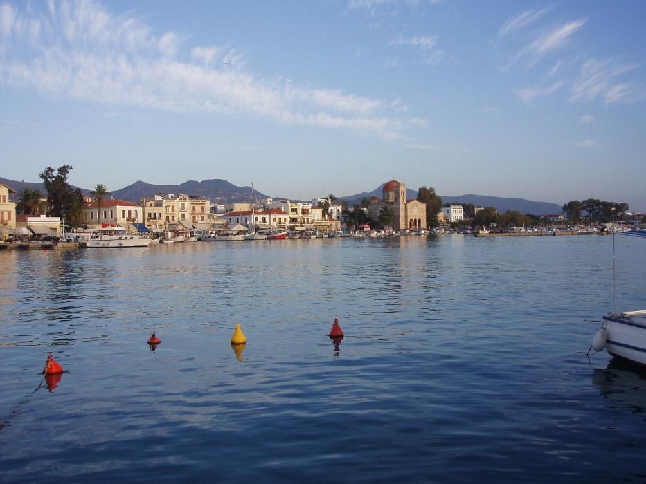
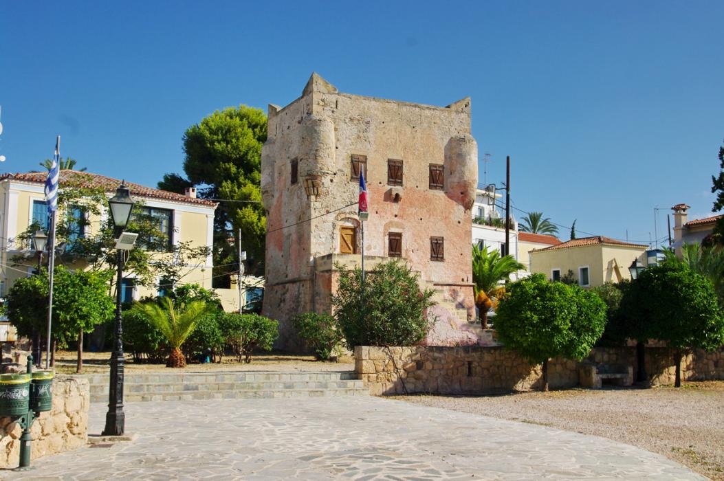


Map and nearest places
| Longitude | Latitude |
|---|---|
| 37.75 | 23.433333333333298 |
| 37°45'0"N | 23°25'0"E |
| Nearest places | ||
|---|---|---|
| Agistri Island | 10.4km | |
| Methana | 20.9km | |
| Salamina Island | 21.2km | |
| Poros Island | 26.3km | |
| Elefsina | 32.7km | |
| Athens | 34.6km | |
| Athens International Airport | 49.4km | |
| Syros Airport | 138.6km | |
| Kalamata International Airport | 145.7km | |
| Milos Island National Airport | 149.3km | |
| Skiathos Island National Airport | 158.8km | |
| Skyros Island National Airport | 163.6km | |
| John Paul II International Airport | 1,401.1km | |
| Tubuai - Mataura Airport | 18,280.7km | |
Accomodation
Restaurants
Weblinks
Comments
You need to log in to add comment