


_282551346_700.jpg)
_320110932_700.jpg)


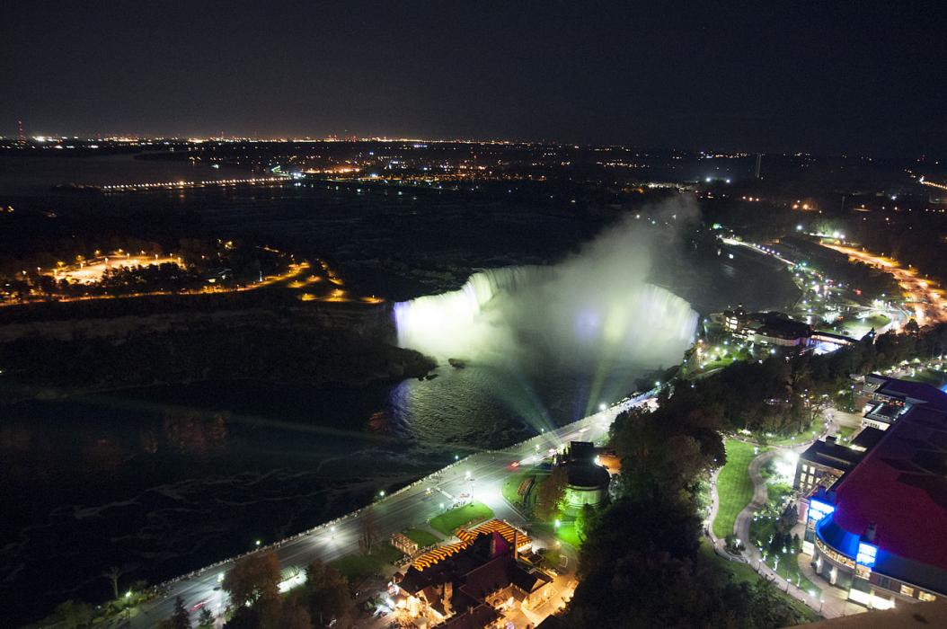
Map and nearest places
| Longitude | Latitude |
|---|---|
| 43.116667 | -79.066667 |
| 43°7'0"N | 79°4'0"W |
| Nearest places | ||
|---|---|---|
| Niagara Falls | 3.9km | |
| Niagara Falls International Airport | 9.8km | |
| St. Catharines/Niagara District Airport | 11.9km | |
 | Niagara-On-The-Lake | 15.4km |
 | St Catharines | 15.7km |
| Welland | 20.1km | |
| Fort Erie Airport | 24.0km | |
| Ridgeway | 25.9km | |
| Welland/Niagara Central Airport | 26.0km | |
| Amherst | 26.6km | |
| Buffalo Niagara International Airport | 33.5km | |
| Buffalo-Lancaster Airport | 42.8km | |
| John Paul II International Airport | 7,018.8km | |
| Busselton Regional Airport | 18,380.3km | |
Spirits Distillery
Breweries
Weblinks
Comments
You need to log in to add comment