


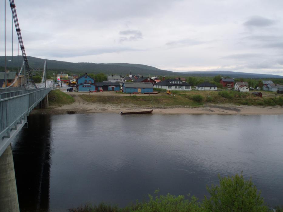
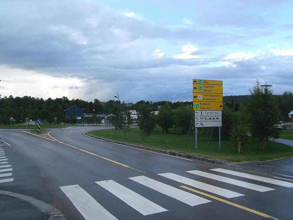
Gallery


Map and nearest places
| Longitude | Latitude |
|---|---|
| 69.4728 | 25.5049 |
| 69°28'0"N | 25°30'0"E |
| Nearest places | ||
|---|---|---|
| Lakselv | 67.5km | |
| Lakselv Airport | 69.1km | |
 | Utsjoki | 75.2km |
| Inari | 87.2km | |
| Alta Airport | 99.4km | |
 | Alta | 101.9km |
| Kautokeino Airport | 108.5km | |
 | Kautokeino | 109.7km |
| Ivalo | 122.4km | |
| Ivalo Airport | 122.6km | |
| Enontekio Airport | 148.6km | |
| Hammerfest Airport | 151.2km | |
| John Paul II International Airport | 2,178.0km | |
| Tuuta Airport | 16,902.3km | |
Accomodation
Weblinks
Comments
You need to log in to add comment