


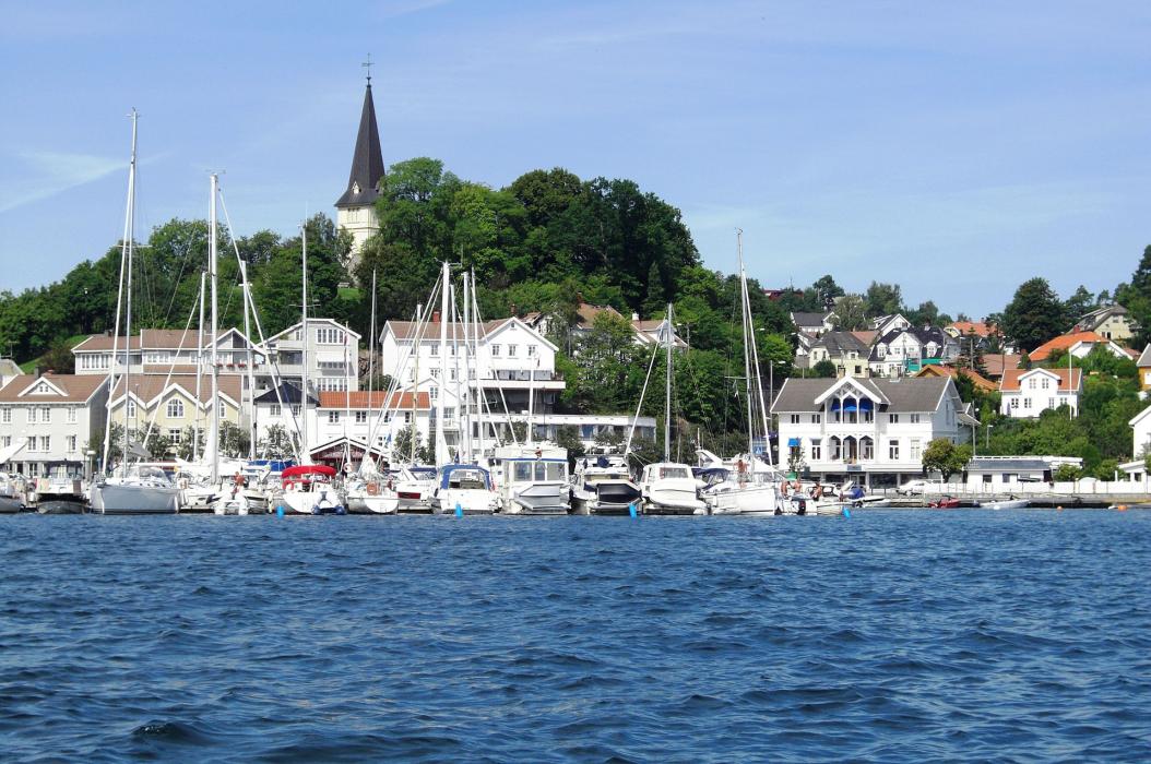
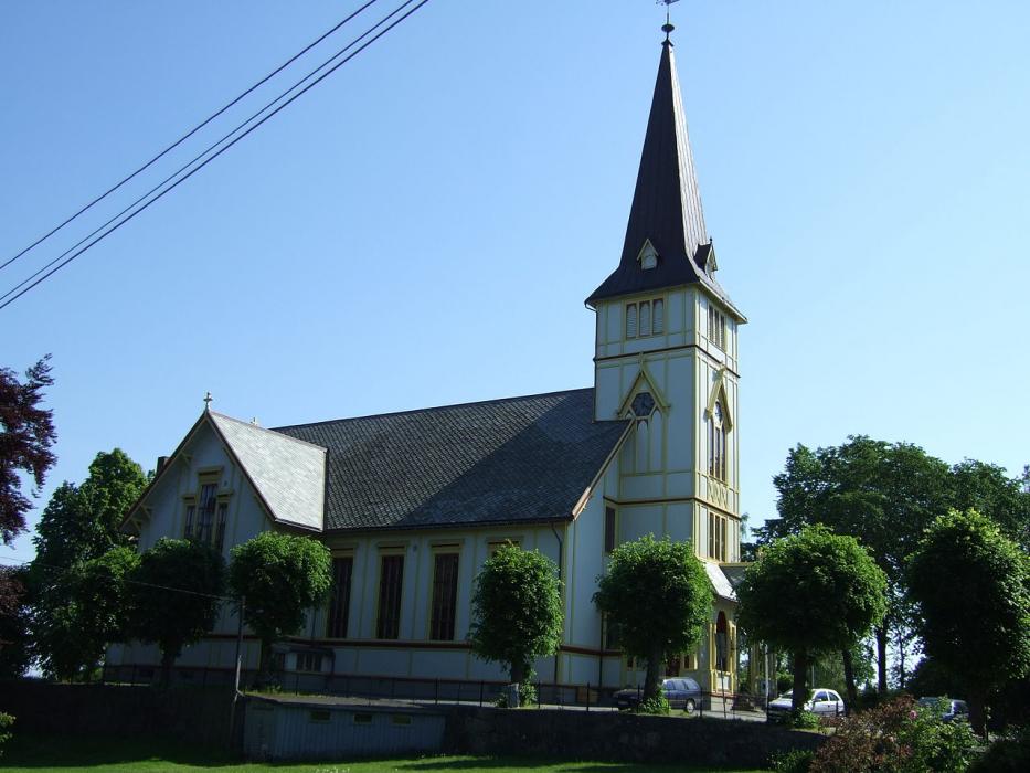


Map and nearest places
| Longitude | Latitude |
|---|---|
| 58.333333 | 8.6 |
| 58°19'0"N | 8°35'0"E |
| Nearest places | ||
|---|---|---|
 | Lillesand | 16.0km |
 | Froland | 19.5km |
 | Arendal | 19.7km |
| Kristiansand Airport | 33.4km | |
 | Tevedstrand | 39.2km |
 | Kristiansand | 39.2km |
 | Risor | 55.7km |
| Skien Airport | 109.9km | |
| Farsund Airport | 118.5km | |
| Sindal Airport | 133.3km | |
| Torp Airport | 134.7km | |
| Thisted Airport | 140.7km | |
| John Paul II International Airport | 1,168.1km | |
| Tuuta Airport | 18,363.1km | |
Accomodation
Restaurants
Weblinks
Comments
You need to log in to add comment