


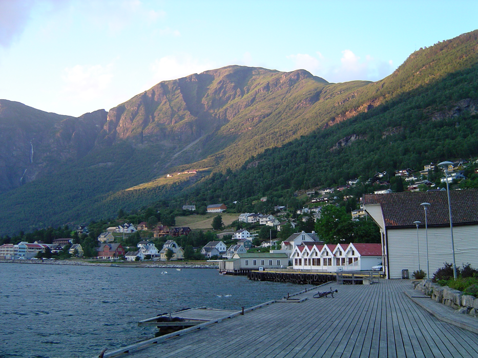
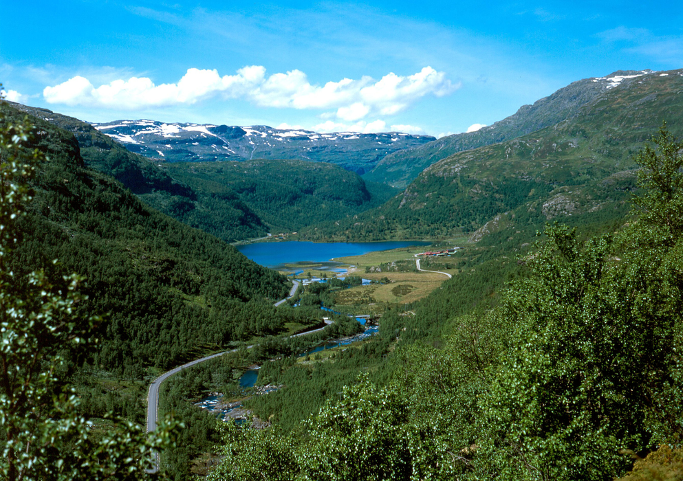
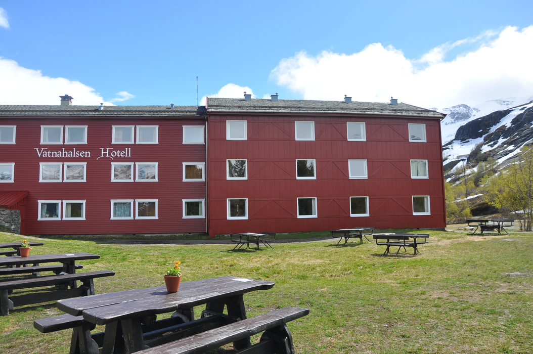


Map and nearest places
| Longitude | Latitude |
|---|---|
| 60.9055555555556 | 7.18722222222222 |
| 60°54'0"N | 7°11'0"E |
| Nearest places | ||
|---|---|---|
| Sogndal Airport | 28.0km | |
 | Sogndal | 38.1km |
 | Hol | 68.6km |
 | Hemsedal | 71.8km |
| Dagali | 87.7km | |
| Edsbyn Airport | 90.2km | |
| Geilo Airport | 90.4km | |
| Forde Airport | 93.8km | |
 | Gol | 98.9km |
| Sandane | 109.5km | |
| Fagernes Airport | 114.0km | |
| Sandane Airport | 117.7km | |
| John Paul II International Airport | 1,436.6km | |
| Tuuta Airport | 18,098.8km | |
Weblinks
Comments
You need to log in to add comment