


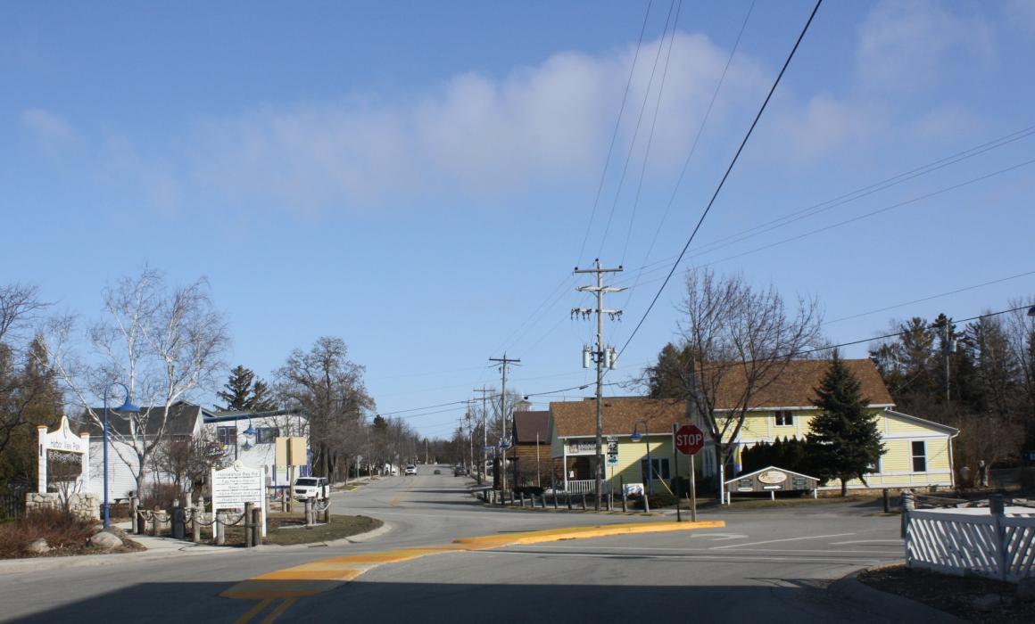
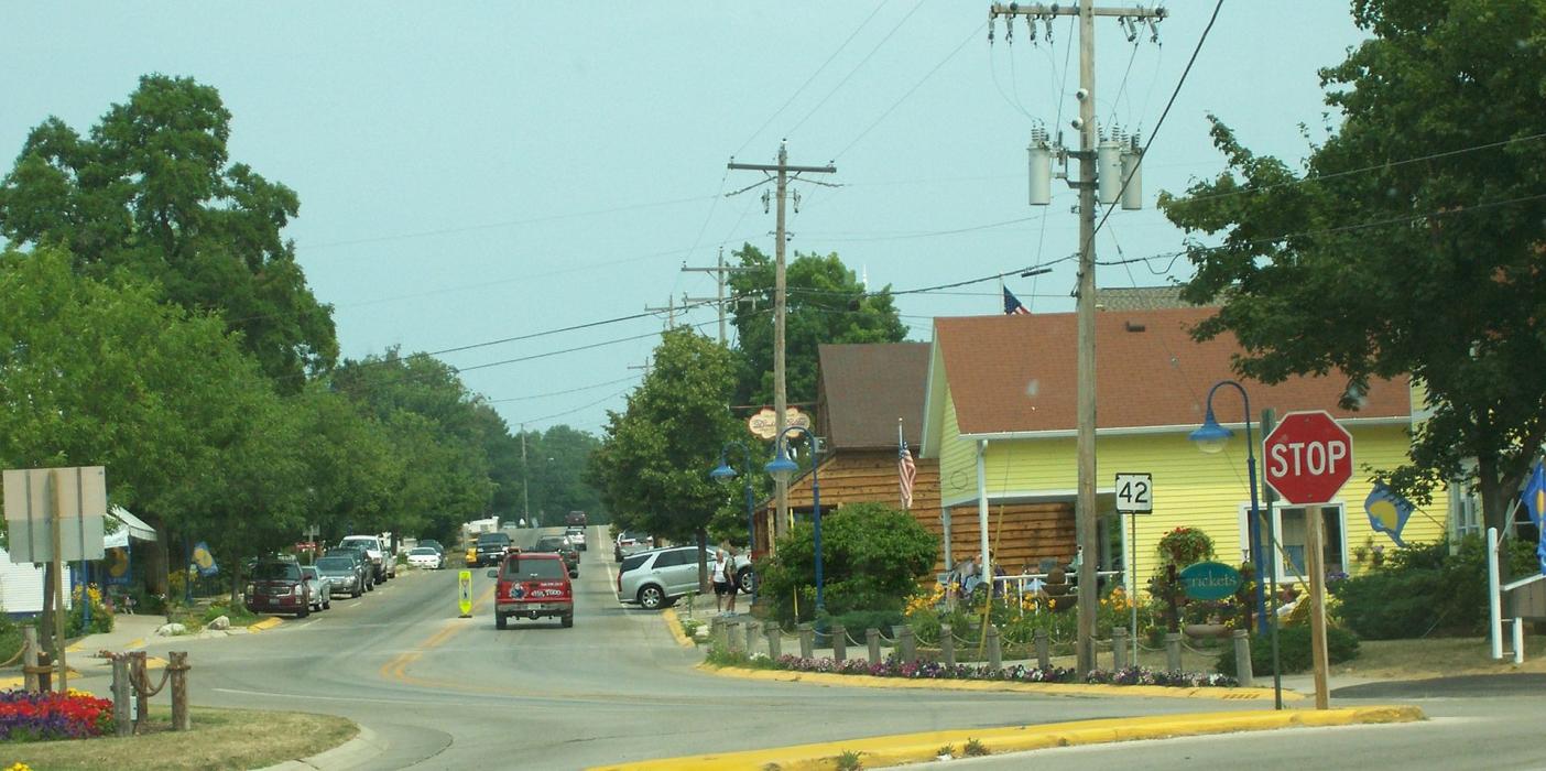
Gallery


Map and nearest places
| Longitude | Latitude |
|---|---|
| 45.049167 | -87.2975 |
| 45°2'0"N | 87°17'0"W |
| Nearest places | ||
|---|---|---|
| Fish Creek | 9.6km | |
| Baileys Harbor | 13.7km | |
| Sturgeon Bay | 24.8km | |
| Door County Cherryland Airport | 24.9km | |
| Menominee | 25.7km | |
| Marinette | 26.8km | |
| Oconto | 48.4km | |
| J. Douglas Bake Memorial Airport | 52.0km | |
| Delta County Airport | 76.6km | |
| Austin Straubel International Airport | 90.9km | |
| Frankfort Dow Memorial Field | 98.5km | |
| Ford Airport | 106.7km | |
| John Paul II International Airport | 7,319.1km | |
| Busselton Regional Airport | 17,703.8km | |
Accomodation
Restaurants
Wineries
Breweries
Weblinks
Comments
You need to log in to add comment