


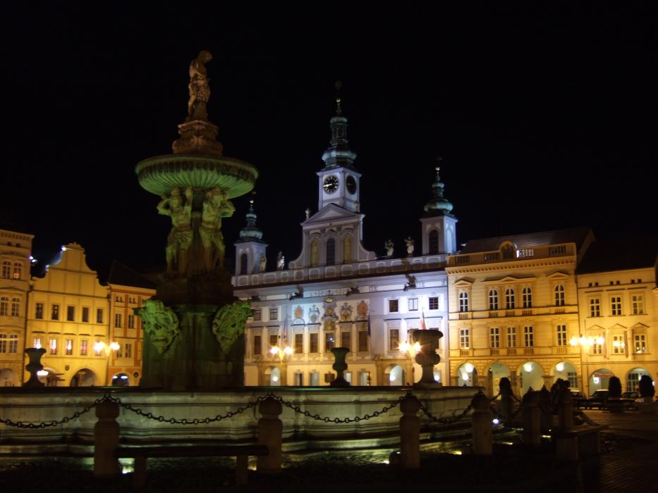
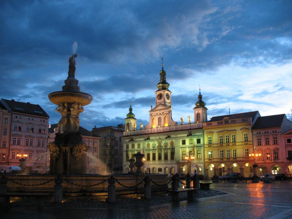
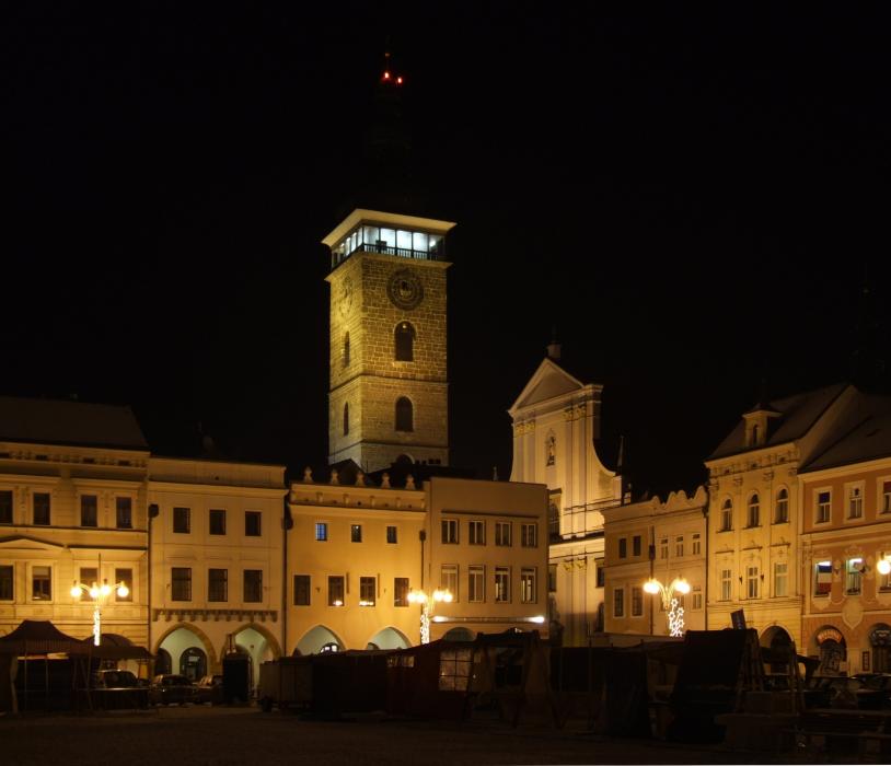
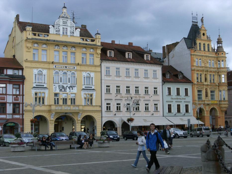
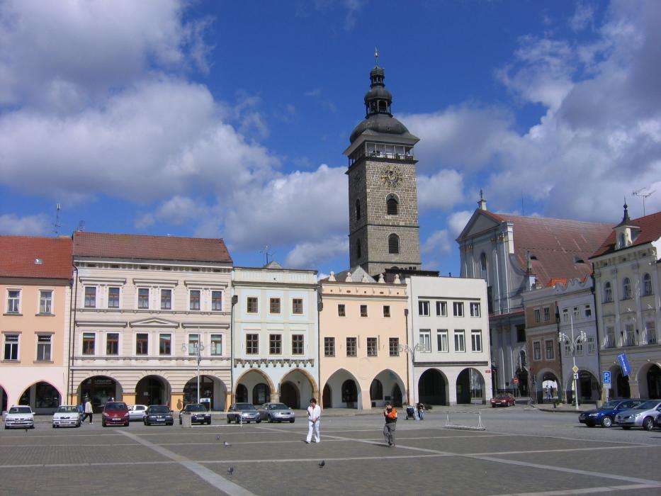
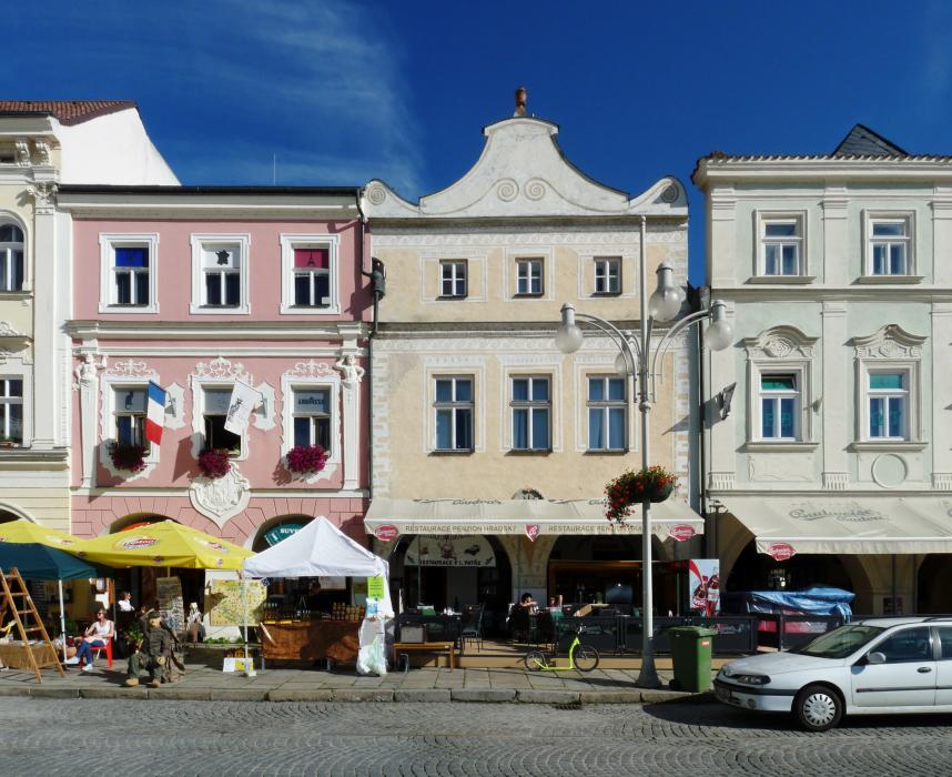
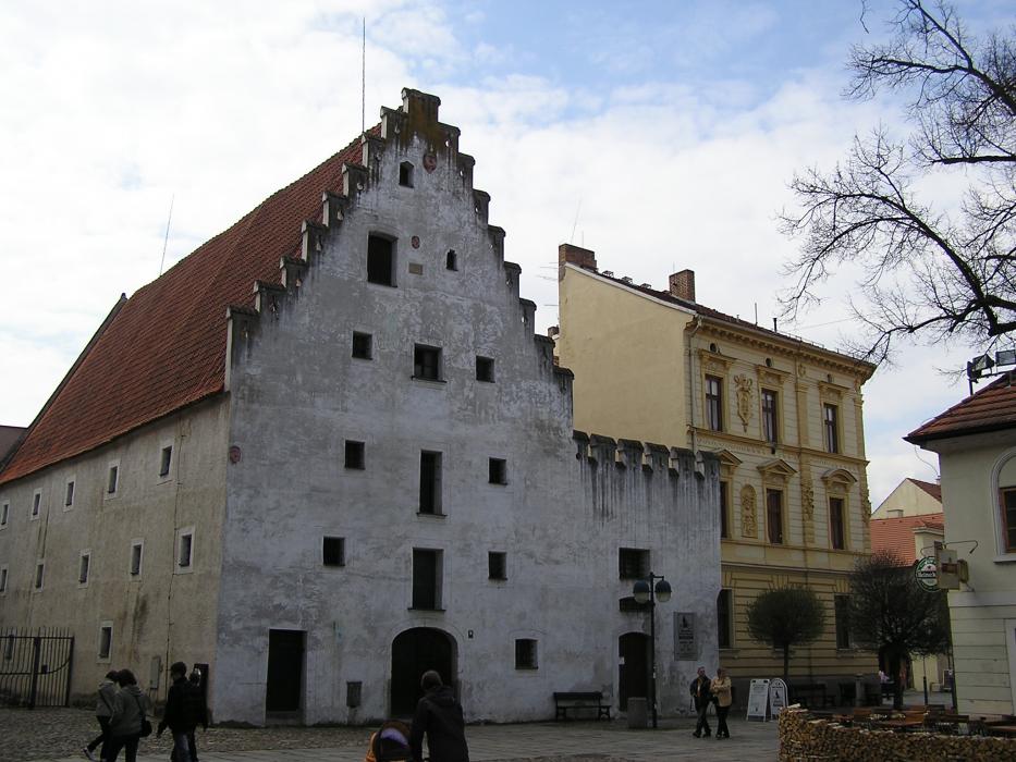
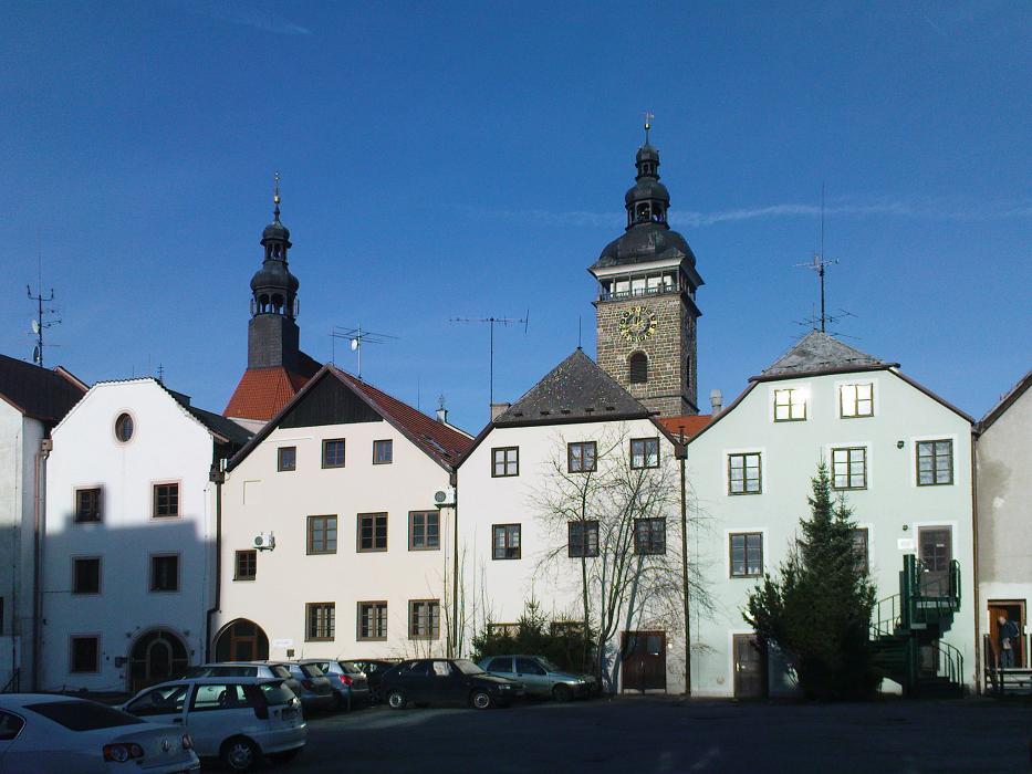
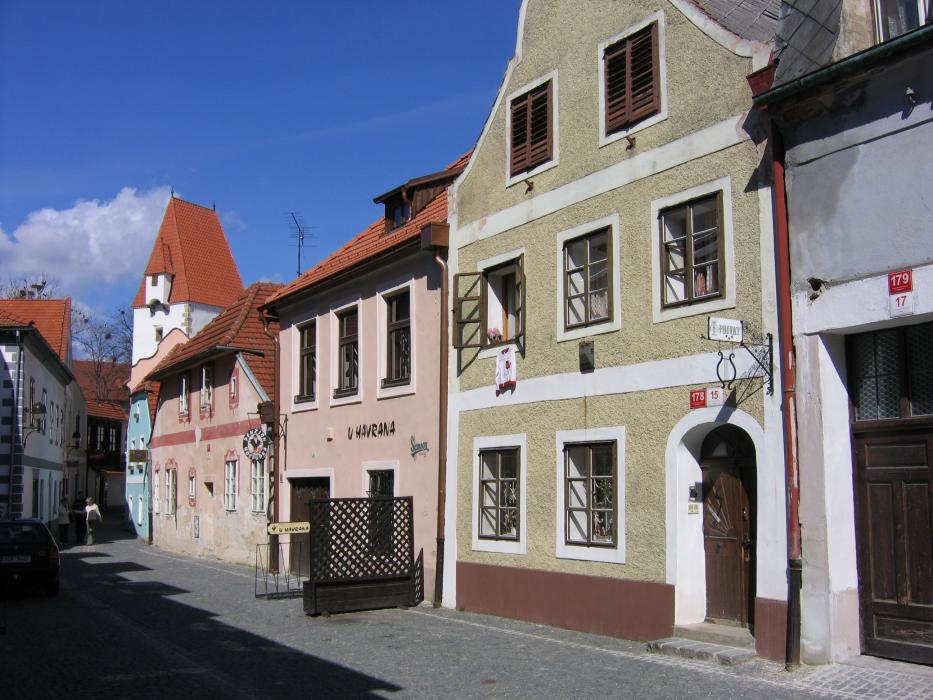
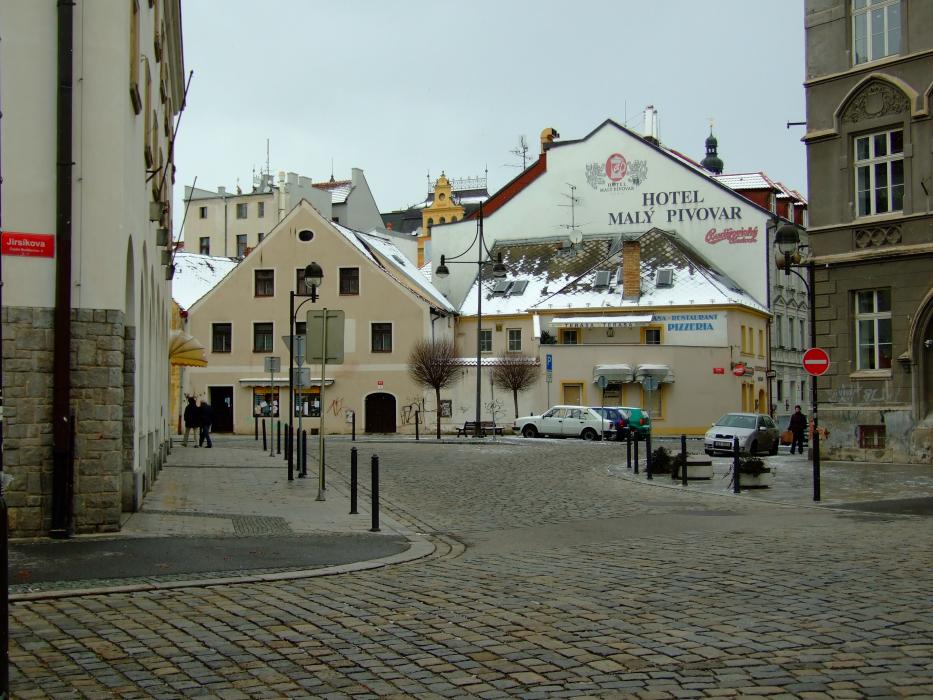
Gallery


Map and nearest places
| Longitude | Latitude |
|---|---|
| 48.9747222222222 | 14.474722222222201 |
| 48°58'0"N | 14°28'0"E |
| Nearest places | ||
|---|---|---|
 | Hluboka nad Vltavou | 9.0km |
 | Cesky Krumlov | 21.6km |
 | Trebon | 21.8km |
 | Kaplice | 26.3km |
 | T�n nad Vltavou | 27.9km |
 | Vesel� nad Lu�nic� | 28.7km |
| Dobersberg Airport | 60.3km | |
| Blue Danube Airport | 85.1km | |
| Wels Airport | 93.6km | |
| Krems Airport | 103.4km | |
| Prague-Ruzyne International Airport | 126.2km | |
| Vodochody Airport | 138.2km | |
| John Paul II International Airport | 402.3km | |
| Tuuta Airport | 19,000.4km | |
Breweries
Weblinks
Comments
You need to log in to add comment