


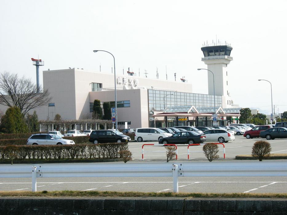
Gallery


Map and nearest places
| Longitude | Latitude |
|---|---|
| 38.411944 | 140.371111 |
| 38°24'0"N | 140°22'0"E |
| Nearest places | ||
|---|---|---|
| Yamagata Airport | 0.0km | |
| Higashine | 3.5km | |
| Yamagata | 17.6km | |
| Sendai | 46.2km | |
| Sendai Airport | 56.4km | |
| Matsushima | 62.3km | |
| Shonai Airport | 67.5km | |
| Fukushima | 72.2km | |
| Sakata | 73.0km | |
| Matsushima Airport | 73.9km | |
| Niigata Airport | 120.5km | |
| Hanamaki Airport | 131.0km | |
| John Paul II International Airport | 8,590.3km | |
| Rio Grande Airport | 18,678.4km | |
General informations
| Airport type | Regional airport |
| ICAO | RJSC |
| IATA | GAJ |
| Elevation | 353 ft / 108 m MSL |
| World Pax Ranking 2022 | #1073(+233) |
| World Pax Ranking 2021 | #1306(-77) |
| World Pax Ranking 2020 | #1229(+11) |
| World Pax Ranking 2019 | #1240 |
| World Pax Ranking 2017 | #1241(+67) |
| World Pax Ranking 2016 | #1308(+40) |
| World Pax Ranking 2015 | #1348(+97) |
| World Pax Ranking 2014 | #1445 |
| Year | Pax |
|---|---|
| 2024 | 361128 |
| 2022 | 345717 |
| 2021 | 135131 |
| 2020 | 133422 |
| 2019 | 366673 |
| 2017 | 305577 |
| 2016 | 262474 |
| 2015 | 223111 |
| 2014 | 187744 |
Weblinks
Comments
You need to log in to add comment