


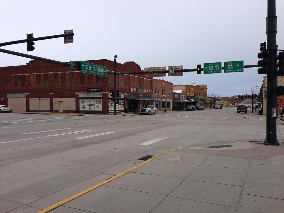
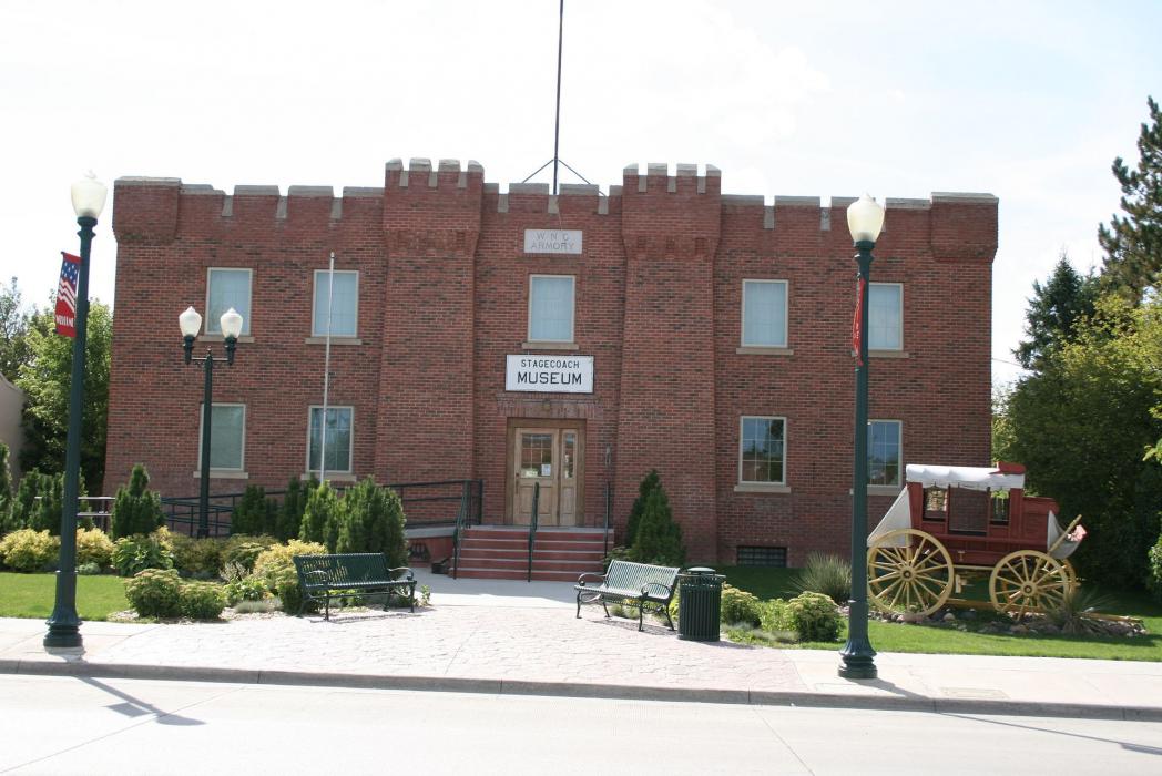
Gallery


Map and nearest places
| Longitude | Latitude |
|---|---|
| 42.7605555555556 | -104.452777777778 |
| 42°45'0"N | 104°27'0"W |
| Nearest places | ||
|---|---|---|
| Lusk Municipal Airport | 16.4km | |
| Douglas | 76.1km | |
| Converse County Airport | 76.3km | |
| Edgemont Municipal Airport | 77.4km | |
| Edgemont | 78.5km | |
| Torrington | 80.3km | |
| Torrington Municipal Airport | 81.2km | |
| Phifer Aitfield | 87.6km | |
| Wheatland | 88.9km | |
| Hot Springs | 109.0km | |
| Hot Springs Municipal Airport | 109.8km | |
| Chadron | 118.5km | |
| John Paul II International Airport | 8,360.9km | |
| Sir Gaëtan Duval Airport | 17,214.3km | |
Accomodation
Restaurants
Airports
Weblinks
Comments
You need to log in to add comment