


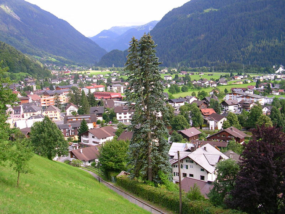
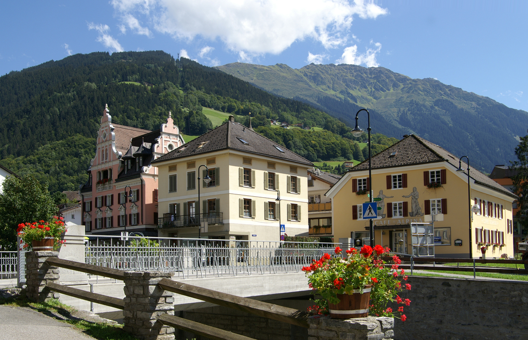
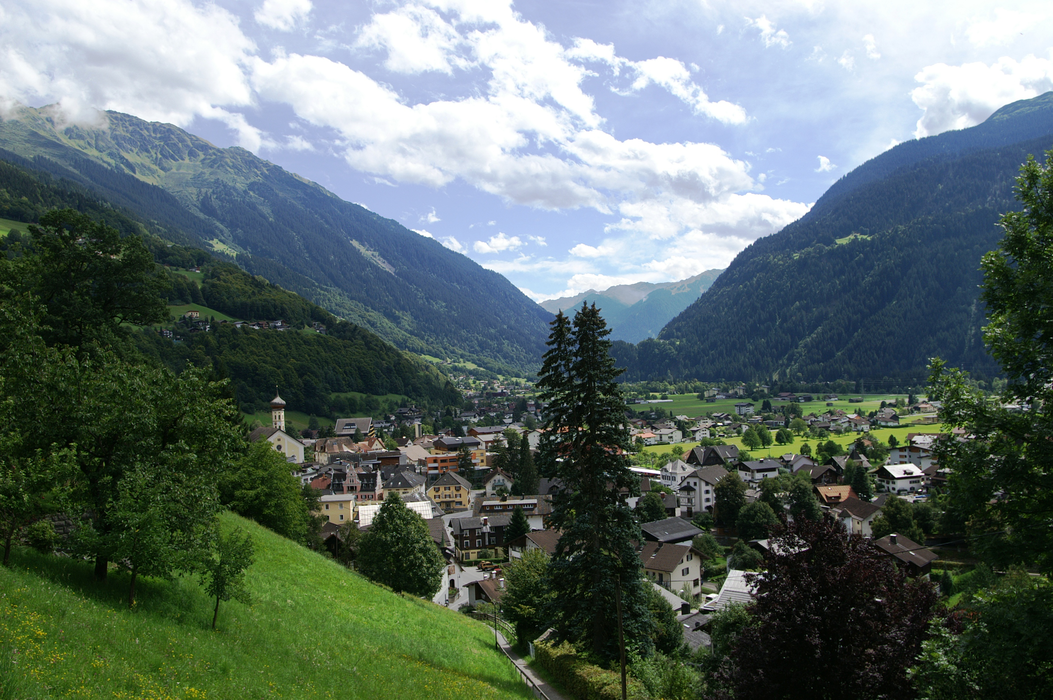


Map and nearest places
| Longitude | Latitude |
|---|---|
| 47.080277777777795 | 9.919166666666667 |
| 47°4'0"N | 9°55'0"E |
| Nearest places | ||
|---|---|---|
 | Sankt Gallenkirch | 7.9km |
 | Bludenz | 9.7km |
| Gargellen | 12.2km | |
 | Gaschurn | 14.6km |
 | Lech | 22.2km |
 | Schr�cken | 22.6km |
| Hohenems-Dornbirn Airport | 37.6km | |
| Altenrhein - St Gallen Airport | 52.5km | |
| St Moritz - Samedan Airport | 60.8km | |
| Friedrishafen Airport | 72.5km | |
| Reutte Airport | 73.1km | |
| Lommis Airport | 84.9km | |
| John Paul II International Airport | 797.8km | |
| Tuuta Airport | 19,399.2km | |

Weblinks
Comments
You need to log in to add comment