


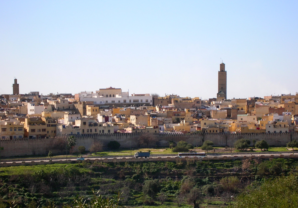
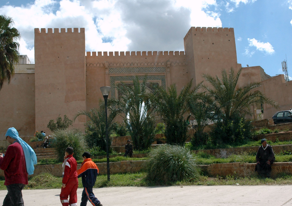


Map and nearest places
| Longitude | Latitude |
|---|---|
| 33.883333 | -5.55 |
| 33°52'0"N | 5°32'0"W |
| Nearest places | ||
|---|---|---|
| Bassatine Airport | 3.3km | |
| Moulay Idriss | 19.1km | |
 | El Hajeb | 26.9km |
| Saiss Airport | 53.0km | |
| Fes | 53.4km | |
| Ifrane Airport | 55.8km | |
| Ifrane | 55.9km | |
| Azrou | 57.6km | |
 | Kenitra | 103.5km |
| Kenitra Airport | 106.8km | |
| Rabat-Sale Airport | 112.0km | |
| Tit Mellil Airport | 179.9km | |
| John Paul II International Airport | 2,737.8km | |
| Kerikeri Airport | 19,854.0km | |
Accomodation
Restaurants
Golfs club
Wineries
Airports
Weblinks
Comments
You need to log in to add comment