


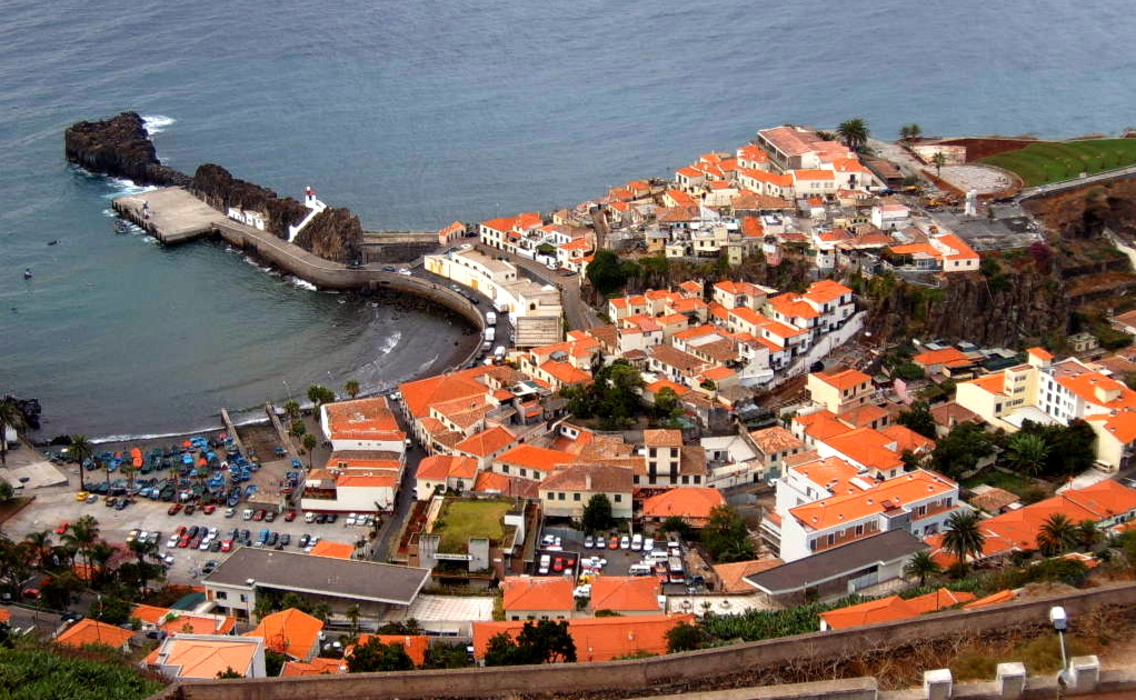
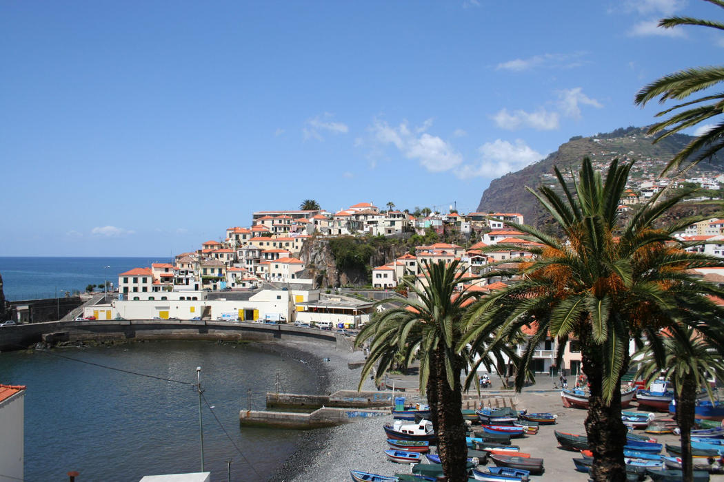
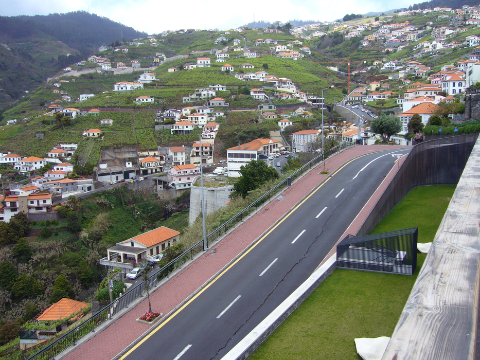


Map and nearest places
| Longitude | Latitude |
|---|---|
| 32.6555555555556 | -16.9638888888889 |
| 32°39'0"N | 16°57'0"W |
| Nearest places | ||
|---|---|---|
 | Funchal | 4.5km |
 | Ribeira Brava | 9.5km |
 | Ponta do Sol | 13.4km |
 | Sao Vincente | 14.6km |
| Madeira Airport | 17.9km | |
 | Machico | 19.7km |
 | Calheta | 20.5km |
| Porto Santo Airport | 74.1km | |
| La Palma Airport | 454.4km | |
| Los Rodeos Airport | 467.8km | |
| Reina Sofia International Airport | 514.1km | |
| La Gomera Airport | 514.9km | |
| John Paul II International Airport | 3,573.8km | |
| Lord Howe Island Airport | 19,622.0km | |
Accomodation

Weblinks
Comments
You need to log in to add comment