


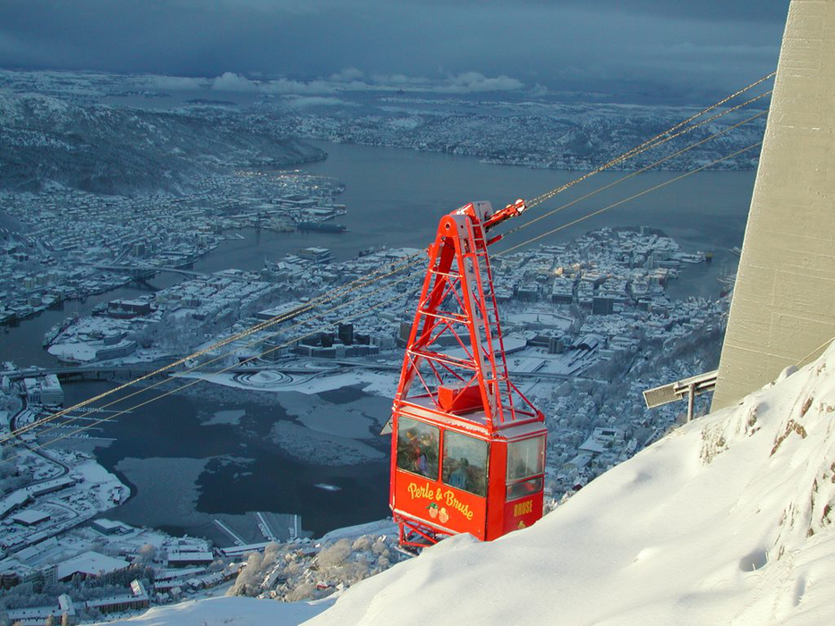


Map and nearest places
| Longitude | Latitude |
|---|---|
| 60.383333333333304 | 5.3333333333333295 |
| 60°22'0"N | 5°19'0"E |
| Nearest places | ||
|---|---|---|
| Bergen Airport, Flesland | 11.8km | |
 | Askoy | 13.6km |
| Rosendal | 58.4km | |
| Stord Airport | 65.8km | |
| Stord | 67.6km | |
 | Sauda | 98.7km |
 | Forde | 107.2km |
| Haugesund | 107.5km | |
| Forde Airport | 114.4km | |
| Edsbyn Airport | 115.0km | |
| Haugesund Airport Karmoy | 115.6km | |
| Sogndal Airport | 130.3km | |
| John Paul II International Airport | 1,460.7km | |
| Tuuta Airport | 18,168.3km | |
Accomodation
Restaurants
Museums
Airports
Weblinks
Comments
You need to log in to add comment