


Map and nearest places
| Longitude | Latitude |
|---|---|
| 70.8713888888889 | 29.0341666666667 |
| 70°52'0"N | 29°2'0"E |
| Nearest places | ||
|---|---|---|
 | Berleveg | 2.4km |
| Batsfjord | 36.4km | |
| Batsfjord Airport | 38.7km | |
| Mehamn | 46.6km | |
| Mehamn Airport | 47.2km | |
| Tana | 81.1km | |
 | Vadso | 92.3km |
| Vardo Airport | 93.8km | |
| Vadso Airport | 94.6km | |
 | Vardo | 99.6km |
| Honningsvag Airport | 111.8km | |
| Kirkenes Airport | 131.4km | |
| John Paul II International Airport | 2,360.7km | |
| Tuuta Airport | 16,698.1km | |
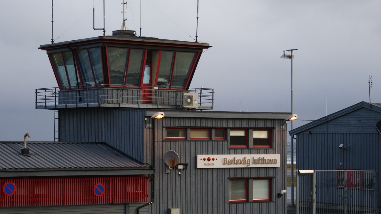
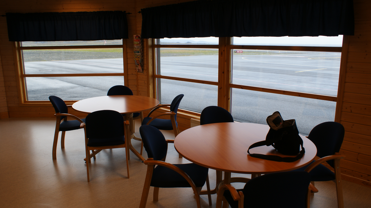
General informations
| Airport type | Regional airport |
| ICAO | ENBV |
| IATA | BVG |
| Elevation | 42 ft / 13 m MSL |
| World Pax Ranking 2023 | #1572(+211) |
| World Pax Ranking 2022 | #1783(+44) |
| World Pax Ranking 2021 | #1827(+12) |
| World Pax Ranking 2020 | #1839(+220) |
| World Pax Ranking 2019 | #2059(+70) |
| World Pax Ranking 2018 | #2129(-48) |
| World Pax Ranking 2017 | #2081 |
| World Pax Ranking 2015 | #2114(+49) |
| World Pax Ranking 2014 | #2163(-61) |
| World Pax Ranking 2013 | #2102(-70) |
| World Pax Ranking 2012 | #2032(-98) |
| World Pax Ranking 2011 | #1934(-55) |
| World Pax Ranking 2010 | #1879(-24) |
| Year | Pax |
|---|---|
| 2023 | 13723 |
| 2022 | 13843 |
| 2021 | 12336 |
| 2020 | 9389 |
| 2019 | 14045 |
| 2018 | 13301 |
| 2017 | 14043 |
| 2015 | 14310 |
| 2014 | 14078 |
| 2013 | 14172 |
| 2012 | 15406 |
| 2011 | 15700 |
| 2010 | 15119 |
| 2009 | 16071 |
| 2008 | 11037 |
| 2007 | 15899 |
| 2006 | 12827 |
| 2005 | 12139 |
| 2004 | 12263 |
| 2003 | 13503 |
| 2002 | 13344 |
| 2001 | 13259 |
| 2000 | 16617 |
| 1999 | 7748 |
| 1998 | 7169 |
| 1997 | 6684 |
| 1996 | 6214 |
| 1995 | 6069 |
| 1994 | 5649 |
| 1993 | 5927 |
| 1992 | 5836 |
| 1991 | 5619 |
| 1990 | 5968 |
| 1989 | 6235 |
| 1988 | 6490 |
| 1987 | 7354 |
| 1986 | 8584 |
| 1985 | 8603 |
| 1984 | 7768 |
| 1983 | 8472 |
| 1982 | 10883 |
Weblinks
Comments
You need to log in to add comment