


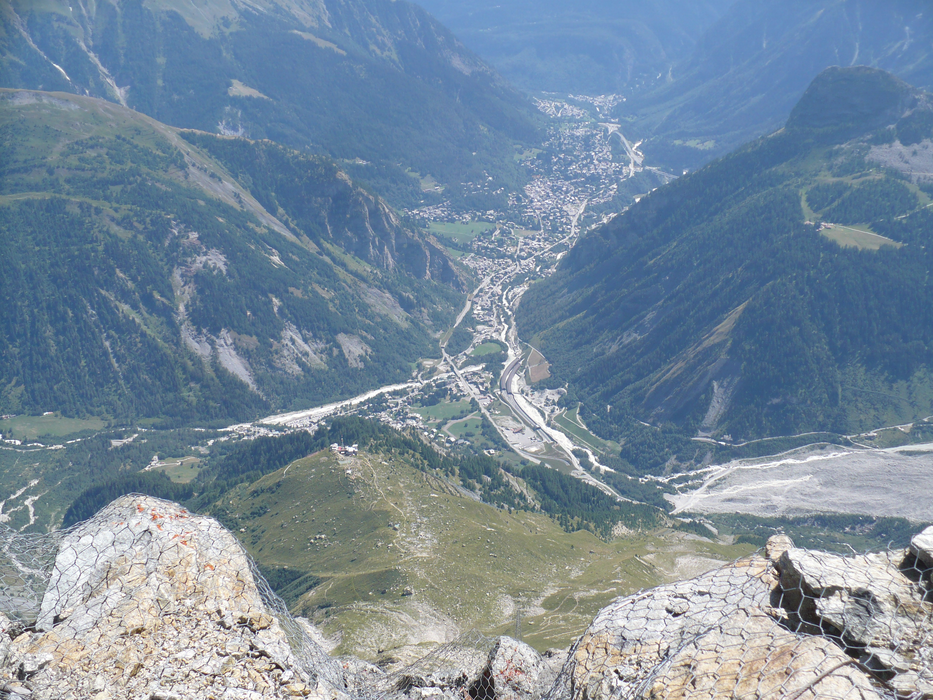
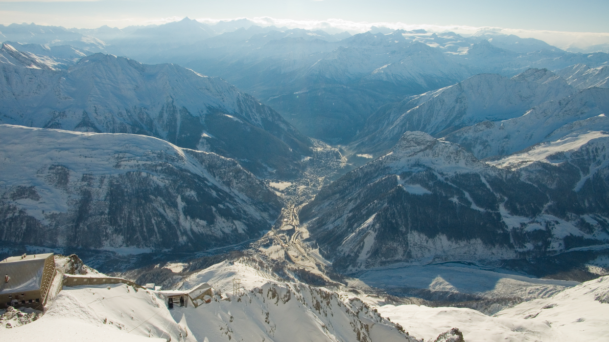


Map and nearest places
| Longitude | Latitude |
|---|---|
| 45.7833333333333 | 6.96666666666667 |
| 45°46'0"N | 6°58'0"E |
| Nearest places | ||
|---|---|---|
 | Pre-Saint-Didier | 2.3km |
 | Morgex | 6.4km |
 | La Thuile | 9.4km |
| Saint Nicolas | 17.2km | |
 | Chamonix | 17.3km |
 | Les Houches | 17.6km |
| Aosta Airport | 31.6km | |
| Courchevel Airport | 50.2km | |
| Bex Airport | 53.0km | |
| Sion Airport | 55.9km | |
| Annecy - Haute-Savoie - Mont Blanc Airport | 69.2km | |
| Turin International Airport | 83.3km | |
| John Paul II International Airport | 1,065.8km | |
| Tuuta Airport | 19,667.1km | |
Weblinks
Comments
You need to log in to add comment